Col de l'Échelle
| Col de l'Échelle | |
|---|---|
 | |
| Elevation | 1,762 m (5,781 ft) |
| Traversed by | D1T |
| Location | Hautes-Alpes, France |
| Range | Alps |
| Coordinates | 45°01′35″N 6°39′25″E / 45.02639°N 6.65694°ECoordinates: 45°01′35″N 6°39′25″E / 45.02639°N 6.65694°E |
 Col de l'Échelle Location of Col de l'Échelle | |
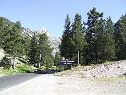
Col de l'Échelle (el. 1762 m., in Italian Colle della Scala) is a mountain pass in the Alps in the department of Hautes-Alpes in France. It is the lower mountain pass between France and Italy and connects Vallée de la Clarée and Vallée Étroite (commune of Névache, Dora Riparia basin). The highest point between both valleys is actually at 1779 meter, some kilometers north of the official Col de l'Échelle at the Mauvais Pas. Between both cols, a small dry valley exists.
The col is next to Bardonecchia in Italy.
See also
This article is issued from
Wikipedia.
The text is licensed under Creative Commons - Attribution - Sharealike.
Additional terms may apply for the media files.