Clowes Bay
South Orkney Islands.
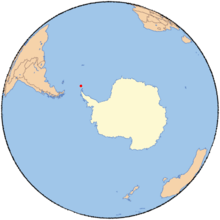
Clowes Bay (60°44′S 45°38′W / 60.733°S 45.633°WCoordinates: 60°44′S 45°38′W / 60.733°S 45.633°W) is a bay 1 nautical mile (2 km) wide, entered between Confusion Point and the Oliphant Islands, along the south side of Signy Island in the South Orkney Islands. It was charted in 1933 by Discovery Investigations personnel on the Discovery II, who named it for Archibald J. Clowes, English oceanographer on the staff of the Discovery Committee, 1924–46.[1]
References
- ↑ "Clowes Bay". Geographic Names Information System. United States Geological Survey. Retrieved 2011-11-16.
![]()
This article is issued from
Wikipedia.
The text is licensed under Creative Commons - Attribution - Sharealike.
Additional terms may apply for the media files.