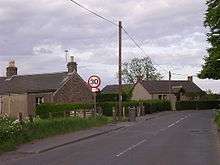
Clayholes
| Clayholes | |
|---|---|
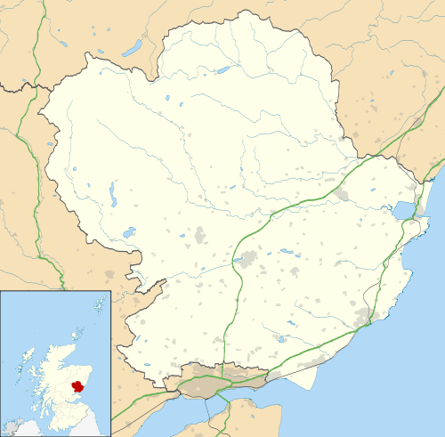 Clayholes Clayholes shown within Angus | |
| OS grid reference | NO553355 |
| Council area | |
| Lieutenancy area | |
| Country | Scotland |
| Sovereign state | United Kingdom |
| Post town | CARNOUSTIE |
| Postcode district | DD7 |
| Dialling code | 01241 |
| Police | Scottish |
| Fire | Scottish |
| Ambulance | Scottish |
| EU Parliament | Scotland |
| UK Parliament | |
| Scottish Parliament | |
Clayholes is a small hamlet in Angus, Scotland. It lies approximately 0.5 kilometres (0.31 mi) north of Carnoustie on the unclassified Balmachie road, that connects the A930 road in Carnoustie with the A92 road at Balmachie.[1]
The settlement is not present on the earliest detailed maps available for the area, but can be seen for example on Ainslie's map of 1794.[2] The site, however, appears to have been settled in pre-modern times, as evidenced by archaeology found in the immediate vicinity.[3]
Clayholes
References
- ↑ "Dundee and Montrose, Forfar and Arbroath", Ordnance Survey Landranger Map (B2 ed.), 2007, ISBN 0-319-22980-7
- ↑ Ainslie, J (1794), Map of the county of Forfar or Shire of Angus, retrieved 26 April 2011
- ↑ "Clayholes: cropmarks, enclosures, rig and furrow", Royal Commission on the Ancient and Historical Monuments of Scotland, Canmore database, retrieved 26 April 2011
See also
This article is issued from
Wikipedia.
The text is licensed under Creative Commons - Attribution - Sharealike.
Additional terms may apply for the media files.