Clayhanger, Devon
| Clayhanger | |
|---|---|
.jpg) A lane in the village | |
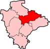
 Clayhanger Clayhanger shown within Devon | |
| Population | 127 (2011 UK Census) |
| OS grid reference | ST022230 |
| District | |
| Shire county | |
| Region | |
| Country | England |
| Sovereign state | United Kingdom |
| Post town | TIVERTON |
| Postcode district | EX16 7N |
| Police | Devon and Cornwall |
| Fire | Devon and Somerset |
| Ambulance | South Western |
| EU Parliament | South West England |
| UK Parliament | |
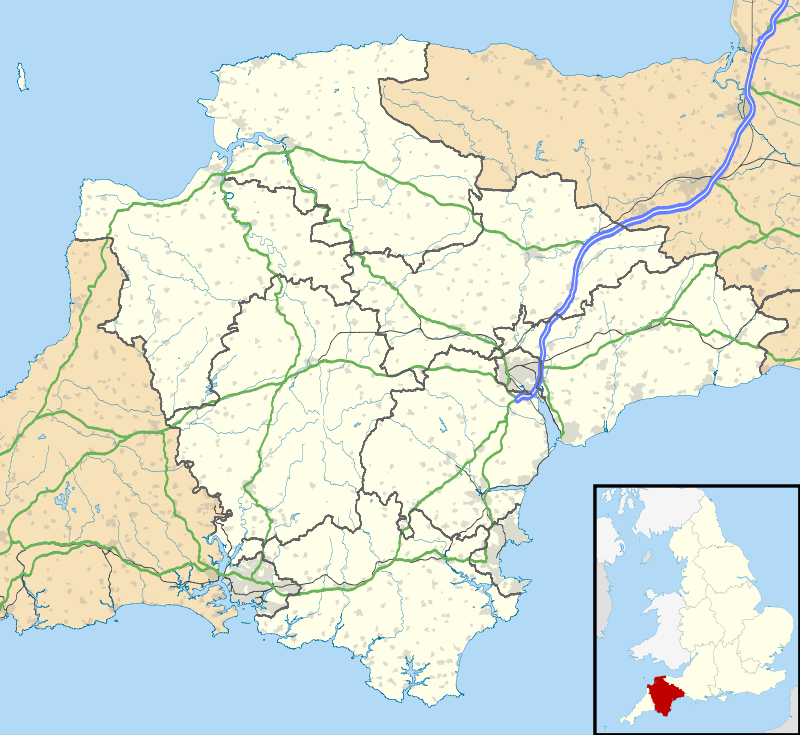
Clayhanger is a hamlet and civil parish in the Mid Devon district of Devon, England.[1][2] At the time of the 2011 census it had a population of 127.[3]
Roman fort
Clayhanger is close to the site of a Roman fort at Cudmore Farm, overlooking a small tributary of the River Batherm, (although the fort mostly lies in the parish of Bampton). The site of the fort is a scheduled monument because it is still in a good condition and is considered to be the best surviving example in the south west of England. It is rectangular in shape and approximately 100 m across on each side, with an 8 m rampart and four outer ditches. Cropmarks inside the site probably show the locations of buildings from the period of the fort. Roman tile and samian ware have been recovered from the site.[4]
References
- ↑ Ordnance Survey: Landranger map sheet 181 Minehead & Brendon Hills (Dulverton & Tiverton) (Map). Ordnance Survey. 2009. ISBN 9780319231814.
- ↑ "Ordnance Survey: 1:50,000 Scale Gazetteer" (csv (download)). www.ordnancesurvey.co.uk. Ordnance Survey. 1 January 2016. Retrieved 18 February 2016.
- ↑ "Area: Clayhanger (Parish)". Neighbourhood statistics. Retrieved 21 December 2016.
- ↑ "Roman fort 300m NE of Cudmore Farm". Historic England. Retrieved 21 December 2016.
 | Towns
| |