Chollerford Bridge
| Chollerford Bridge | |
|---|---|
 Chollerford Bridge | |
| Coordinates | 55°01′45″N 2°07′38″W / 55.0293°N 2.1273°W |
| OS grid reference | |
| Carries | B6318 road |
| Crosses | River North Tyne |
| Locale | Northumberland |
| Heritage status | Grade II listed[1] |
| Preceded by | Wark Bridge |
| Followed by | Constantius Bridge |
| Characteristics | |
| Design | Arch bridge |
| Material | Stone |
| Total length | 90 m (300 ft) |
| No. of spans | 5[1] |
| Piers in water | 4 |
| No. of lanes | Single-track road controlled by traffic lights |
| History | |
| Architect | Robert Mylne |
| Construction end | 1785[1] |
| Opened | 1785 |
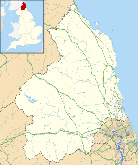 Chollerford Bridge Location in Northumberland | |
Chollerford Bridge is a stone bridge that replaced an earlier medieval bridge crossing the River North Tyne[2] at Chollerford, Northumberland, England. It is a Grade II listed building.[1]
It was built in 1785 by Robert Mylne after the previous bridge had been swept away in the great floods of 1771.
Hadrian's Wall crossed the river to Chesters fort on the multi-arched Chesters Bridge about 700 m (770 yd) to the southwest.
References
- 1 2 3 4 Historic England. "Chollerford Bridge over River North Tyne (Grade II) (1370563)". National Heritage List for England. Retrieved 2015-06-16.
- ↑ "Chollerford Bridge". Bridges on the Tyne. Retrieved 7 September 2018.
| Next bridge upstream | River North Tyne | Next bridge downstream |
| Wark Bridge | Chollerford Bridge Grid reference: NY919705 |
Chesters Bridge Ruined Roman bridge, formerly Roman Military Way |
| Next road bridge upstream | River North Tyne | Next road bridge downstream |
| Wark Bridge | Chollerford Bridge Grid reference: NY919705 |
Constantius Bridge A69 road |
This article is issued from
Wikipedia.
The text is licensed under Creative Commons - Attribution - Sharealike.
Additional terms may apply for the media files.