Chengjiao Subdistrict, Ningxiang
| Chengjiao Subdistrict | |
|---|---|
| Subdistrict | |
| Chinese transcription(s) | |
| • Simplified | 城郊街道 |
| • Traditional | 城郊街道 |
| • Pinyin | Chéngjiāo Jiēdào |
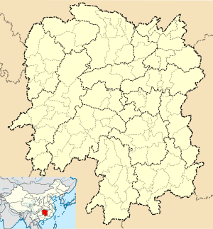
 Chengjiao Subdistrict Location in Hunan | |
| Coordinates: 28°15′40″N 112°34′20″E / 28.26111°N 112.57222°ECoordinates: 28°15′40″N 112°34′20″E / 28.26111°N 112.57222°E | |
| Country |
|
| Province | Hunan |
| County-level city | Ningxiang City |
| Area | |
| • Total | 22.8 km2 (8.8 sq mi) |
| Population | 50,000 |
| Time zone | UTC+8 (China Standard) |
| Area code(s) | 0731 |
Chengjiao Subdistrict (Chinese: 城郊街道; pinyin: Chéngjiāo Jiēdào) is a rural subdistrict in Ningxiang City, Hunan Province, China. It is surrounded by Jinghuapu Township on the northwest, Shuangjiangkou Town on the northeast, Lijingpu Subdistrict on the southeast, and Yutan Subdistrict on the south. As of the 2000 census it had a population of 29,700 and an area of 22.8 square kilometres (8.8 sq mi).[1]
Administrative division
The subdistrict is divided into fourteen villages and one community: Wei Community (沩社区), Jinxing Village (金星村), Maotian Village (茆田村), Tangwan Village (塘湾村), He'an Village (合安村), Luohuan Village (罗宦村), Guanxin Village (关心村), Shiquan Village (石泉村), Mujia Village (木佳村), Xujialong Village (许家垅村), Yaoshi Village (钥匙村), Douzitan Village (蔸子潭村), Weifengba Village (沩丰坝村), Chatingsi Village (茶亭寺村) and Shitoukeng Village (石头坑村).
Culture
Huaguxi is the most influential form of local theater.
Transportation
The 319 National Highway continues into Yiyang City, linking Chengjiao Subdistrict to Jinghuapu Township.
The Jinzhou Highway (金洲大道) from Yutan Town, runs through Chengjiao Town, Shuangjiangkou Town and Jinzhou Town, to Yuelu District, Changsha City.
The G5513 Changsha-Zhangjiajie Expressway runs southeast through Jinzhou Town to Wangcheng District of Changsha, and the northwest to Heshan District of Yiyang.[2]
References
- ↑ Huang Haichao; Jiang Hongzhao (2002-09-01). 《宁乡史地》 [History and Geography of Ningxiang] (in Chinese). Hainan: Nanfang Publishing House. ISBN 7-80660-538-X.
- ↑ Zhang Hong, ed. (2018). 《中国分省系列地图册:湖南》 [Maps of Provinces in China: Hunan] (in Chinese). Xicheng District, Beijing: SinoMaps Press. pp. 34–35. ISBN 978-7-5031-8949-4.
