Chehalem Mountains AVA
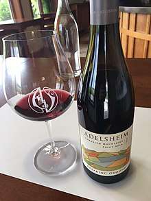
2014 Breaking Ground Pinot Noir, Chehalem Mountains AVA, Adelsheim Vineyard
| Wine region | |
| Type | American Viticultural Area |
|---|---|
| Year established | 2006[1] |
| Country | United States |
| Part of | Oregon, Willamette Valley AVA, Oregon Coast Range (Part of an inland limb/arm) |
| Other regions in Oregon, Willamette Valley AVA, Oregon Coast Range (Part of an inland limb/arm) | Cooper Mountain, Trask Mountain |
| Sub-regions | Ribbon Ridge AVA |
| Growing season | May-October |
| Climate region | Woodland, Pacific Northwest, Maritime |
| Precipitation (annual average) | About 60 inches in a typical year |
| Soil conditions | Basalt Clay, Marine Sedimentary, Glacial Loess |
| Size of planted vineyards | 1,600 acres (647 ha)[2] |
| Grapes produced | Chardonnay, Pinot blanc, Pinot gris, Pinot noir, Riesling, [2] Syrah, Auxerrois blanc |
| Varietals produced | Pinot noir, Pinot gris, Pinot Blanc, Chardonnay, Auxerrois |
| No. of wineries | Adelsheim Vineyard |
| Comments | Bald Peak, the highest in Chehalem Mountains, is 1,636 feet at the peak. |
The Chehalem Mountains AVA is an American Viticultural Area located in the Clackamas, Yamhill, and Washington counties of northwestern Oregon. It is entirely contained within the Willamette Valley AVA. The region stretches 20 miles (32 km) from Wilsonville in the southeast to Forest Grove in the northwest. The Chehalem Mountains includes Ribbon Ridge AVA, Parrett Mountain, Bald Peak, and the proposed Laurelwood AVA. The petition process for the creation of the Chehalem Mountains AVA began in 2001 and was led by David Adelsheim of Adelsheim Vineyard.[2] The AVA was officially established in 2006.
References
- ↑ Code of Federal Regulations. "§ 9.205 Chehalem Mountains." Archived January 19, 2008, at the Wayback Machine. Title 27: Alcohol, Tobacco and Firearms; Part 9 — American Viticultural Areas; Subpart C — Approved American Viticultural Areas. Retrieved Jan. 29, 2008.
- 1 2 3 Wines Northwest (2006). "Chehalem Mountains Becomes Oregon's Fifteenth American Viticultural Area". Dec. 27, 2006.
This article is issued from
Wikipedia.
The text is licensed under Creative Commons - Attribution - Sharealike.
Additional terms may apply for the media files.