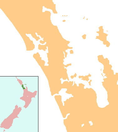
Chatswood, New Zealand
| Chatswood | |
|---|---|
 Chatswood | |
| Basic information | |
| Local authority | Auckland Council |
| Electoral ward | North Shore ward |
| Coordinates | 36°48′57″S 174°42′57″E / 36.8159°S 174.7157°ECoordinates: 36°48′57″S 174°42′57″E / 36.8159°S 174.7157°E |
| Population | 3,834 (2006) |
| Surrounds | |
| North | Windy Ridge |
| Northeast | Highbury, Northcote West |
| East | Birkenhead |
| Southeast | (Waitematā Harbour) |
| South | (Waitematā Harbour) |
| Southwest | (Waitematā Harbour) |
| West | Kauri Park |
Chatswood is a suburb in the city of Auckland, New Zealand in the middle-eastern side of North Shore. It contains a primary school and many parks. To the south of Chatswood is Kendall's Bay, a small bay of the Waitematā Harbour. The suburb is under the governance of Auckland Council.
The population was 3,834 in the 2006 census, an increase of 147 from 2001.[1]
The Royal New Zealand Navy's Kauri Point Armament Depot is located in Chatswood.
Education
Chelsea School is a coeducational contributing primary (years 1-6) school with a decile rating of 10 and a roll of 355.[2] It was built in 1981.[3]
Notes
- ↑ The statistical area used by the Census is called Chelsea. Quickstats about Chelsea
- ↑ Te Kete Ipurangi schools database: Chelsea School
- ↑ "About Chelsea School". Chelsea School. Archived from the original on 14 October 2008. Retrieved 12 January 2009.
External links
This article is issued from
Wikipedia.
The text is licensed under Creative Commons - Attribution - Sharealike.
Additional terms may apply for the media files.