Charon, Louisiana
| Charon, Louisiana | |
| Unincorporated community | |
| Country | United States |
|---|---|
| State | Louisiana |
| Parish | Vermilion |
| Elevation | 16 ft (4.9 m) [1] |
| Coordinates | 30°01′18″N 92°01′23″W / 30.02167°N 92.02306°WCoordinates: 30°01′18″N 92°01′23″W / 30.02167°N 92.02306°W |
| Timezone | CST (UTC-6) |
| - summer (DST) | CDT (UTC-5) |
| Area code | 337 |
| GNIS feature ID | 533884[1] |
 Location of Erath in Louisiana | |
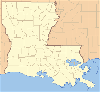
 Location of Louisiana in the United States | |
Charon (also spelled "Charogne") is an unincorporated community in Vermilion Parish, Louisiana, United States. It is part of the Abbeville Micropolitan Statistical Area.
Charon is located at 30°01′18″N 92°01′23″W / 30.02167°N 92.02306°W (30.021593, -92.023178)[1] at the intersection of Louisiana highways 338 and 339, north of the town of Erath, and consists of the southern part of the LeBlanc Community.
References
- 1 2 3 U.S. Geological Survey Geographic Names Information System: Charon, Louisiana. Retrieved on 2008-03-25.
External links
Municipalities and communities of Vermilion Parish, Louisiana, United States | ||
|---|---|---|
| Cities | 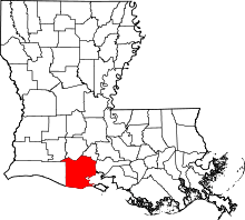 | |
| Town | ||
| Village | ||
| Unincorporated communities | ||
| Footnotes | ‡This populated place also has portions in an adjacent parish or parishes | |
This article is issued from
Wikipedia.
The text is licensed under Creative Commons - Attribution - Sharealike.
Additional terms may apply for the media files.