Chappal Waddi
| Chappal Waddi | |
|---|---|
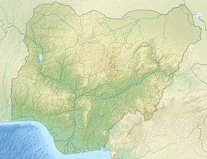 Chappal Waddi Location of Chappal Waddi in Nigeria (on border with Cameroon) | |
| Highest point | |
| Elevation | 2,419 m (7,936 ft) [1] |
| Listing | Country high point |
| Coordinates | 7°02′07.68″N 11°42′56.06″E / 7.0354667°N 11.7155722°ECoordinates: 7°02′07.68″N 11°42′56.06″E / 7.0354667°N 11.7155722°E |
| Geography | |
| Location | Nigeria / Cameroon |
Chappal Waddi is a mountain in Nigeria and, at 2,419 meters, is the country's highest point.[2] It is located in Taraba State, near the border with Cameroon, in the Gashaka Gumti Forest Reserve and (Gashaka-Gumpti National Park) on the Mambilla Plateau.[3] it is a part of the Bamenda-Adamawa-Mandara Mountain chain of Nigeria and Cameroon. Chappal Wadi is cited as the highest point in sub-Saharan Africa West Africa.
References
This article is issued from
Wikipedia.
The text is licensed under Creative Commons - Attribution - Sharealike.
Additional terms may apply for the media files.