Channarayapatna
| Channarayapatna | |
|---|---|
| city | |
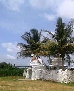 Railway Temple | |
| Coordinates: 12°54′07″N 76°21′50″E / 12.902°N 76.364°ECoordinates: 12°54′07″N 76°21′50″E / 12.902°N 76.364°E | |
| Country |
|
| State | Karnataka |
| District | Hassan |
| Area | |
| • Total | 6.53 km2 (2.52 sq mi) |
| Elevation | 827 m (2,713 ft) |
| Population (2011) | |
| • Total | 40,400 |
| • Density | 5,090.35/km2 (13,183.9/sq mi) |
| Languages | |
| • Official | Kannada |
| Time zone | UTC+5:30 (IST) |
| PIN | 573 116 |
| Telephone code | 08176 |
| Vehicle registration | KA-13 |
| Website |
channarayapatna |
Channarayapatna is a town and taluka in Hassan district of Karnataka, India. It lies on the Bangalore-Mangalore National Highway.
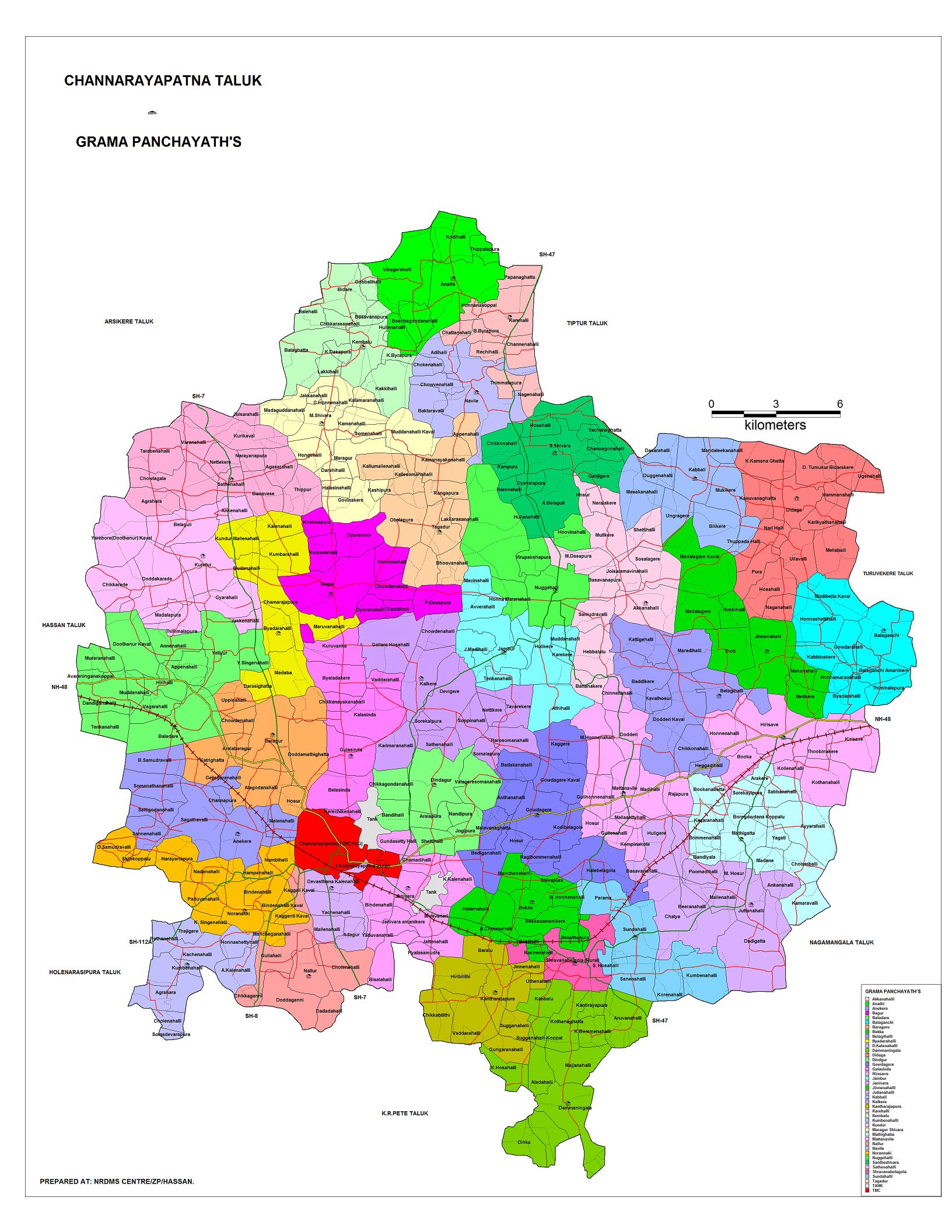
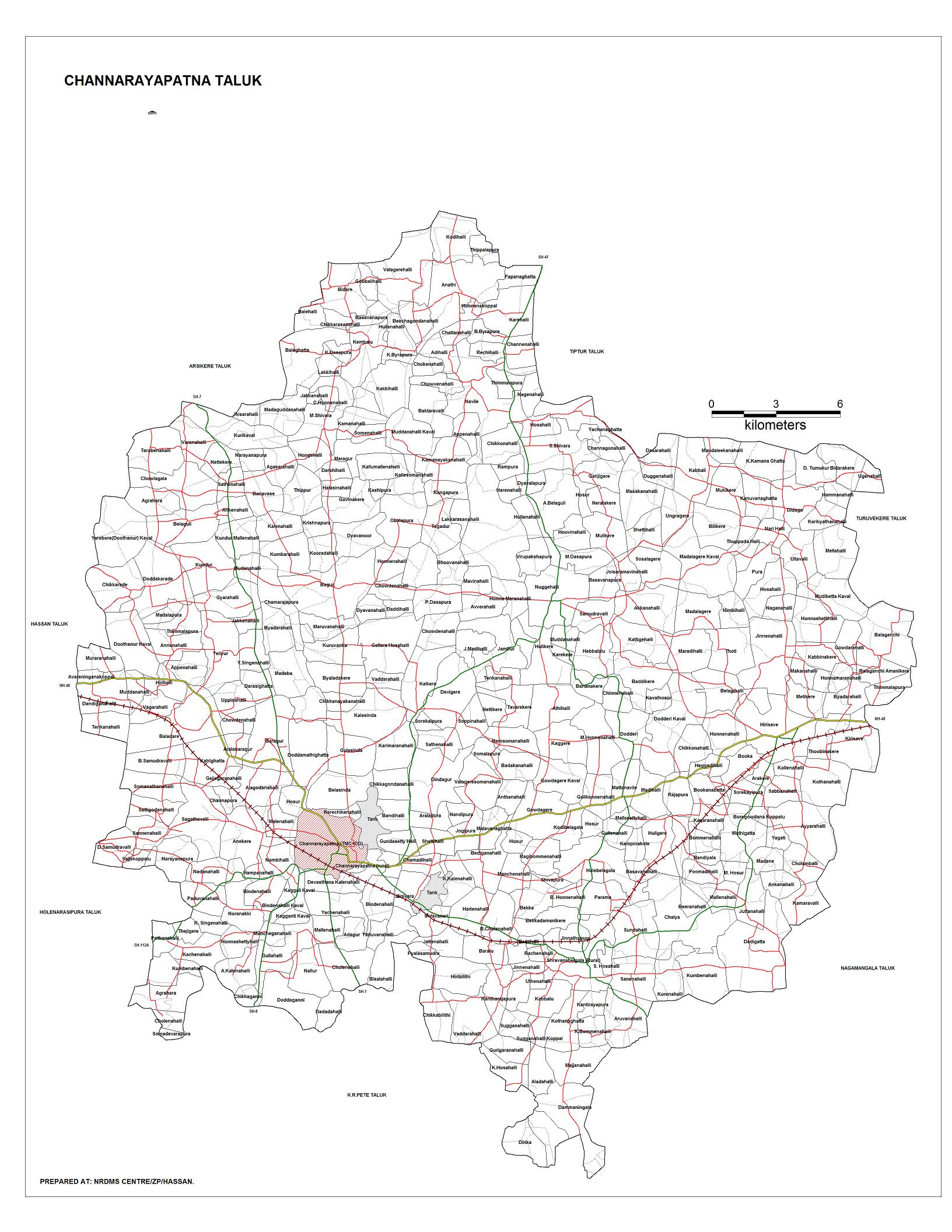
Taluka
Channarayapatna Taluka is one of the eight talukas in Hassan district of Karnataka state. There are 40 panchayat villages in Channarayapatna Taluka,[1][2] for 407 villages.[3]
Geography
Channarayapatna is in Hassan District in Karnataka state, India and located at 12°54′N 76°23′E / 12.90°N 76.39°E.[4] It has an average elevation of 827 metres (2716 ft).
Demographics
As of 2011 India census, Channarayapatna has a population of 40,400. Males constitute 51% of the population and females 49%. Channarayapatna has an average literacy rate of 73%, higher than the national average of 59.5%; with male literacy of 78% and female literacy of 68%. 11% of the population is under 6 years of age.[5]
Economy
Agriculture is the major economic activity. Sugarcane & Coconut are the leading commercial crops, while food crops include Ragi, Potato, Sunflower, and Paddy.[6] The taluk also has mineral reserves, such as chromite.[6]
People from Channarayapatna
- S. L. Bhyrappa, novelist and professor
- Nanditha, playback singer
- C. N. Manjunath, Cardiologist
See also
References
| Wikimedia Commons has media related to Channarayapatna. |
- ↑ "Reports of National Panchayat Directory: List of Census Villages mapped for: Village Panchayat Names of Channarayapatna, Hassan, Karnataka". Archived from the original on 2013-02-10.
- ↑ "Map: Gram panchayats in Channarayapatna Taluka".
- ↑ "Channarayapatna Taluk: Hobli-wise, VA Circle-wise Villages" (PDF).
- ↑ "Maps, Weather, and Airports for Channarayapatna, India". fallingrain.com. Retrieved 2017-10-06.
- ↑ "Census of India 2001: Data from the 2001 Census, including cities, villages and towns (Provisional)". Census Commission of India. Archived from the original on 2004-06-16. Retrieved 2008-11-01.
- 1 2 "Channarayapatna Taluk Industrial Development Plan" (DOC). Karnataka Department of Industries and Commerce. Retrieved 2013-04-20.
External links
- NRDMS Centre/ZP/Hassan. "Map: Channarayapatna Taluka". Hassan district.