Chaek
| Chaek Чаек | |
|---|---|
| Village | |
 Chaek | |
| Coordinates: 41°55′48″N 74°30′36″E / 41.93000°N 74.51000°ECoordinates: 41°55′48″N 74°30′36″E / 41.93000°N 74.51000°E | |
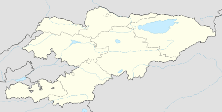
| Country | Kyrgyzstan |
| Region | Naryn Region |
| District | Jumgal District |
| Elevation | 1,682 m (5,518 ft) |
| Population (2009[1]) | |
| • Total | 7,009 |
| Time zone | UTC +5 |
Chaek (Kyrgyz: Чаек) is a village in Naryn Region of Kyrgyzstan on the A361 highway which crosses the north of the region. Its population was 7,009 in 2009.[1] It is the center of the Jumgal District. It is about 100km west of Kochkor and 45km west of Lake Son-Kul. It is the largest of several villages in an agricultural valley. Further west the scenery becomes more dramatic.
References
- 1 2 2009 population census of the Kyrgyz Republic: Naryn Region at the Wayback Machine (archived 2012-03-21)
This article is issued from
Wikipedia.
The text is licensed under Creative Commons - Attribution - Sharealike.
Additional terms may apply for the media files.