Cerro Tenerife (Chile)
| Cerro Tenerife | |
|---|---|
 Cerro Tenerife | |
| Highest point | |
| Elevation | 1,650 m (5,410 ft) |
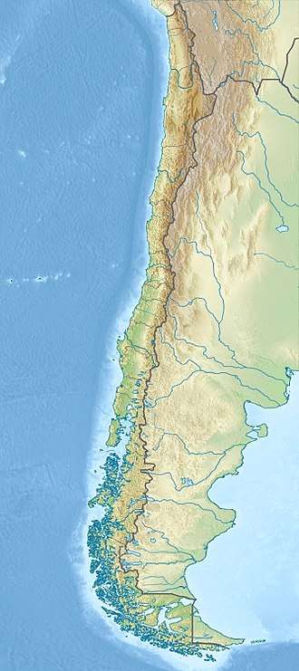
| Coordinates | 51°23′S 72°57′W / 51.383°S 72.950°WCoordinates: 51°23′S 72°57′W / 51.383°S 72.950°W |
| Geography | |
| Location | Última Esperanza Province, Chile |
Cerro Tenerife is a mountain located next to the small town of Puerto Natales and Torres del Paine National Park in Chilean Patagonia.
It measures 1,650 meters and takes its name from the island of Tenerife in Spain[1] because the Spanish settler who settled in the place, called Ernesto Casasola was from the island of Tenerife and the hill resembled the volcano Teide located in that Spanish island.[2]
See also
References
- ↑ "Tenerife: desde las antípodas hasta la Luna | Diario de Avisos" (in Spanish). diariodeavisos.com. Retrieved 2016-11-27.
- ↑ "Tenerife está en la Patagonia" (in Spanish). canariascnnews.com. Retrieved 2016-11-27.
This article is issued from
Wikipedia.
The text is licensed under Creative Commons - Attribution - Sharealike.
Additional terms may apply for the media files.