Cerro Overo
| Cerro Overo | |
|---|---|
.jpg) The maar is visible in the lower right corner of the image | |
| Highest point | |
| Elevation | 4,555 m (14,944 ft) [1] |
| Coordinates | 23°31′S 67°40′W / 23.517°S 67.667°WCoordinates: 23°31′S 67°40′W / 23.517°S 67.667°W [1] |
| Geography | |
 Cerro Overo | |
| Parent range | Andes |
| Geology | |
| Mountain type | Maar |
| Last eruption | Unknown[1] |
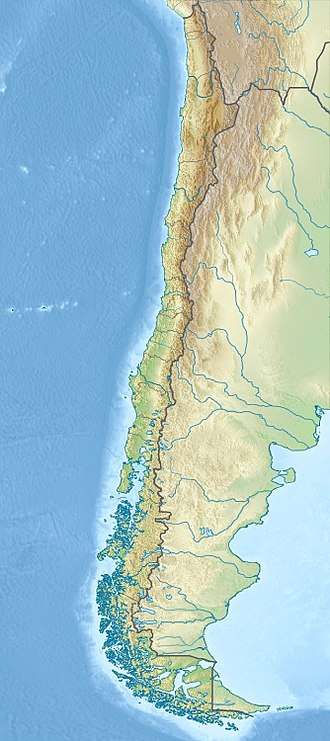
Cerro Overo is a maar lying at the foot of Chiliques volcano and close to Laguna Lejía, in the Antofagasta Region of northern Chile[1] over ignimbrites of Miocene-Pliocene age.[2] It is the result of a phreatomagmatic eruption, its maximum diameter is 600 metres (2,000 ft) and its depth is 80 metres (260 ft).[1] The maar formed in postglacial times and erupted basalts that originated in the deep crust, with no magma chamber.[2] The lavas are of lower crustal provenience and are among the least evolved of northern Chile.[3]
See also
References
- 1 2 3 4 5 "Cerro Overo". Global Volcanism Program. Smithsonian Institution. Retrieved 2012-04-14.
- 1 2 Matthews, S. J. (1999). "Empirical Calibration of the Sulphur Valence Oxygen Barometer from Natural and Experimental Glasses: Method and Applications". Mineralogical Magazine. 63 (3): 421–431. doi:10.1180/002646199548510. Retrieved 11 October 2015.
- ↑ Naranjo, José A. (1 May 2009). "Chemistry and petrological evolution of the Lastarria volcanic complex in the north Chilean Andes". Geological Magazine. 129 (06): 723. doi:10.1017/S0016756800008451. Retrieved 11 October 2015.
This article is issued from
Wikipedia.
The text is licensed under Creative Commons - Attribution - Sharealike.
Additional terms may apply for the media files.