Cerro El Toro
| Cerro El Toro | |
|---|---|
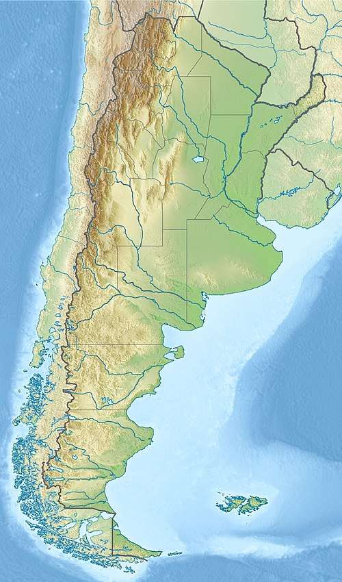 Cerro El Toro Location in Argentina on the border with Chile | |
| Highest point | |
| Elevation | 6,168 m (20,236 ft) [1] |
| Prominence | 1,910 m (6,270 ft) [2] |
| Listing | Ultra |
| Coordinates | 29°07′48″S 69°47′12″W / 29.13000°S 69.78667°WCoordinates: 29°07′48″S 69°47′12″W / 29.13000°S 69.78667°W [2] |
| Geography | |
| Location | Argentina - Chile |
| Parent range | Andes |
Cerro El Toro is a mountain in the Andes located on the border between Argentina and Chile. It has an elevation of 6,168 m above sea level.
See also
References
- ↑ "Cumbres en Zona Fronteriza: Cerro El Toro" (in Spanish). Chilean Government - Difrol. Archived from the original on 2 March 2012. Retrieved 11 February 2012.
- 1 2 "Argentina and Chile North: Ultra-Prominences" Peaklist.org. Retrieved 2013-02-25.
External links
This article is issued from
Wikipedia.
The text is licensed under Creative Commons - Attribution - Sharealike.
Additional terms may apply for the media files.