Cerro Ejido
| Cerro Ejido | |
|---|---|
| Suburb of Artigas | |
 Cerro Ejido Location in Uruguay | |
| Coordinates: 30°26′0″S 56°27′34″W / 30.43333°S 56.45944°WCoordinates: 30°26′0″S 56°27′34″W / 30.43333°S 56.45944°W | |
| Country |
|
| Department | Artigas Department |
| Population (2011) | |
| • Total | 790 |
| Time zone | UTC -3 |
| Postal code | 55000 |
| Dial plan | +598 477 (+5 digits) |
Cerro Ejido is a suburb of the city of Artigas in the Artigas Department of northern Uruguay.
Location
It is located at the south urban limits of the city. The populated fragments of San Eugenio and Cerro Signorelli lie to its west and the suburb Pintadito lies to its south. Route 30 passes a small distance to the east of these suburbs.
Population
In 2011 Cerro Ejido had a population of 790 inhabitants.[1]
| Year | Population |
|---|---|
| 1996 | 177 |
| 2004 | 516 |
| 2011 | 790 |
Source: Instituto Nacional de Estadística de Uruguay[2]
References
- ↑ "Censos 2011 Artigas (needs flash plugin)". INE. 2012. Archived from the original on 9 October 2012. Retrieved 25 August 2012.
- ↑ "1963–1996 Statistics / C" (DOC). Instituto Nacional de Estadística de Uruguay. 2004. Retrieved 3 July 2011.
External links
Capital: Artigas | ||
| Towns and villages | 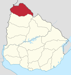 | |
| Sights | ||
This article is issued from
Wikipedia.
The text is licensed under Creative Commons - Attribution - Sharealike.
Additional terms may apply for the media files.