Central Japan International Airport Station
 Central Japan International Airport Station 中部国際空港駅 | |
|---|---|
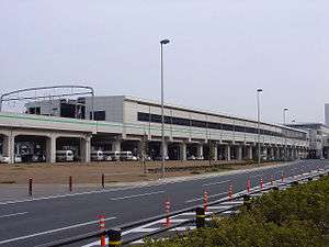 Exterior of the station in March 2008 | |
| Location |
Centrair, Tokoname-shi, Aichi-ken[1] Japan |
| Operated by | Meitetsu |
| Line(s) | Meitetsu Airport Line |
| Tracks | 3 |
| Connections | Chūbu Centrair International Airport |
| History | |
| Opened | 16 October 2004 |
| Traffic | |
| Passengers (FY2014) | 22,576 daily |
| Location | |
 Central Japan International Airport Station Location within Japan | |
Central Japan International Airport Station (中部国際空港駅 Chūbukokusaikūkō-eki) is a railway station in Tokoname, Aichi, Japan, owned by Central Japan International Airport Line Company, Ltd. and leased to the private railway operator Meitetsu. The station serves Chūbu Centrair International Airport by a short walkway connecting the station concourse with the airport terminal building.
Lines
Central Japan International Airport Station is served by the Meitetsu Airport Line.
Station layout
Central Japan International Airport Station has two elevated bay platforms serving three tracks, one is for μSky limited express trains and the other two are for commuter trains.
| 1 | ■ μSky limited express trains | for Nagoya, Gifu, and Shin Unuma |
| 2, 3 | ■ Airport Line | for Ōtagawa, Kanayama, Nagoya, Ichinomiya, Gifu, Inuyama, and Shin Kani |
Adjacent stations
| ← | Service | → | ||
|---|---|---|---|---|
| Meitetsu Airport Line | ||||
| Tokoname (trains departing for Nagoya before 9 a.m.) Jingu-mae (others) |
μSky Limited Express | Terminus | ||
| Tokoname | Limited Express | Terminus | ||
| Tokoname | Rapid Express | Terminus | ||
| Rinkū Tokoname | Express | Terminus | ||
| Rinkū Tokoname | Semi-Express | Terminus | ||
| Rinkū Tokoname | Local | Terminus | ||
History
Central Japan International Airport Station began operations on October 16, 2004, but initially only for workers at the airport site. It was opened officially to the general public on January 29, 2005, in advance of the opening of the airport in February. On May 23, 2005, a second platform was completed.
References
External links
| Wikimedia Commons has media related to Central Japan International Airport Station. |
- Meitetsu Station information (in Japanese)
Coordinates: 34°51′34″N 136°48′59″E / 34.8595°N 136.8165°E