Cazombo Airport
| Cazombo Airport | |||||||||||
|---|---|---|---|---|---|---|---|---|---|---|---|
| Summary | |||||||||||
| Airport type | Public | ||||||||||
| Serves | Cazombo | ||||||||||
| Location | Angola | ||||||||||
| Elevation AMSL | 3,694 ft / 1,126 m | ||||||||||
| Coordinates | 11°53′35″S 22°54′55″E / 11.89306°S 22.91528°ECoordinates: 11°53′35″S 22°54′55″E / 11.89306°S 22.91528°E | ||||||||||
| Map | |||||||||||
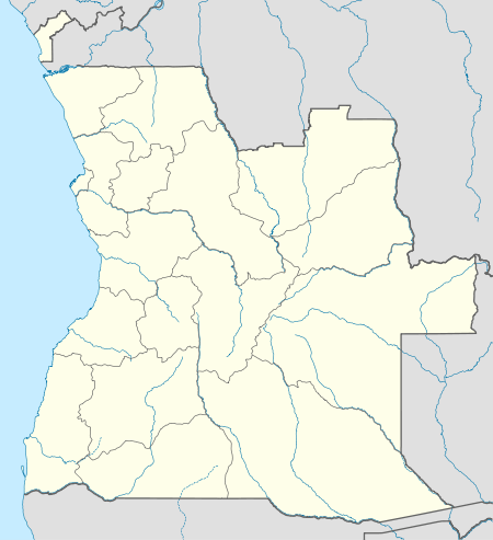 FNCZ Location of Cazombo Airport in Angola | |||||||||||
| Runways | |||||||||||
| |||||||||||
Cazombo Airport (IATA: CAV, ICAO: FNCZ) is an airport serving the city of Cazombo in the Moxico Province of Angola.
The Cazombo non-directional beacon (Ident: CZ) is on the field.[4]
See also


- List of airports in Angola
- Transport in Angola
References
- ↑ Airport information for Cazombo, Angola (FNCZ / CAV) at Great Circle Mapper.
- ↑ "FNCZ @ aerobaticsweb.org". Landings.com. Retrieved 31 July 2013.
- ↑ Google Maps - Cazombo
- ↑ "SkyVector: Flight Planning / Aeronautical Charts". skyvector.com. Retrieved 2017-07-27.
External links
This article is issued from
Wikipedia.
The text is licensed under Creative Commons - Attribution - Sharealike.
Additional terms may apply for the media files.