Cayo Coco Airport
| Cayo Coco | |||||||||||
|---|---|---|---|---|---|---|---|---|---|---|---|
 Former runway of Cayo Coco airport, now highway | |||||||||||
| Summary | |||||||||||
| Location | Cayo Coco | ||||||||||
| Coordinates | 22°30′58″N 078°30′32″W / 22.51611°N 78.50889°WCoordinates: 22°30′58″N 078°30′32″W / 22.51611°N 78.50889°W | ||||||||||
| Map | |||||||||||
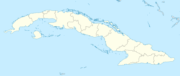 Cayo Coco Location in Cuba | |||||||||||
| Runways | |||||||||||
| |||||||||||
Cayo Coco (ICAO: MUOC) was an airport in Cayo Coco, Cuba that served as the main airport of the island until it was superseded by the Jardines del Rey Airport, which opened in 2002. The former runway of the airport was incorporated as the new route of a highway heading west connecting Cayo Coco with Cayo Guillermo, although some runway markings and taxiways remain visible. The airport terminal buildings and surrounding area have been reclaimed as a small natural park called Parque Natural El Baga.[1]
References
- ↑ Sainsburg, Brendan, Cuba Lonely Planet Guide 2009, p. 327
External links
![]()
This article is issued from
Wikipedia.
The text is licensed under Creative Commons - Attribution - Sharealike.
Additional terms may apply for the media files.