Catlodge
Catlodge
| |
|---|---|
 | |
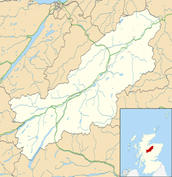 Catlodge Catlodge shown within the Badenoch and Strathspey area | |
| OS grid reference | NN636931 |
| Council area | |
| Country | Scotland |
| Sovereign state | United Kingdom |
| Post town | Laggan |
| Postcode district | PH20 1 |
| Police | Scottish |
| Fire | Scottish |
| Ambulance | Scottish |
| EU Parliament | Scotland |
Catlodge (Scottish Gaelic: Caitleag) is a hamlet, in the district of Newtonmore in Inverness-shire, Scottish Highlands and is in the Scottish council area of Highland.[1] It is located east of Loch Laggan and 7 miles north of Dalwhinnie. One of General Wade's military road, which is now the A889, built in the mid 18th century, passes through Catlodge, approaching from the south.

References
- ↑ "Catlodge". The Gazetteer for Scotland. School of GeoSciences, University of Edinburgh and The Royal Scottish Geographical Society. Retrieved 17 June 2018.
| Wikimedia Commons has media related to Catlodge. |
This article is issued from
Wikipedia.
The text is licensed under Creative Commons - Attribution - Sharealike.
Additional terms may apply for the media files.