Castlesteads, Greater Manchester
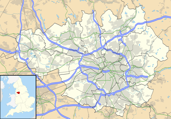
Map showing the location of Castlesteads within Greater Manchester.
Castlesteads is an Iron Age promontory fort, situated on the east bank of the River Irwell on a natural promontory in Bury, Greater Manchester (grid reference SD79691299). It is listed as a Scheduled Ancient Monument.[1] Excavated pottery indicates the site was occupied between 200BC and 250AD.[1]
See also
References
- 1 2 "Castlesteads". Pastscape.org.uk. Retrieved 2008-01-05.
Coordinates: 53°36′46″N 2°18′25″W / 53.612875°N 2.306955°W
This article is issued from
Wikipedia.
The text is licensed under Creative Commons - Attribution - Sharealike.
Additional terms may apply for the media files.