Carrillo Airport
| Carrillo Airport | |||||||||||
|---|---|---|---|---|---|---|---|---|---|---|---|
| Summary | |||||||||||
| Airport type | Public / Private | ||||||||||
| Operator | Dirección General de Aviación Civil (DGAC) | ||||||||||
| Serves | Puerto Carrillo | ||||||||||
| Elevation AMSL | 2 m / 7 ft | ||||||||||
| Coordinates | 9°52′15″N 85°28′50″W / 9.87083°N 85.48056°WCoordinates: 9°52′15″N 85°28′50″W / 9.87083°N 85.48056°W | ||||||||||
| Map | |||||||||||
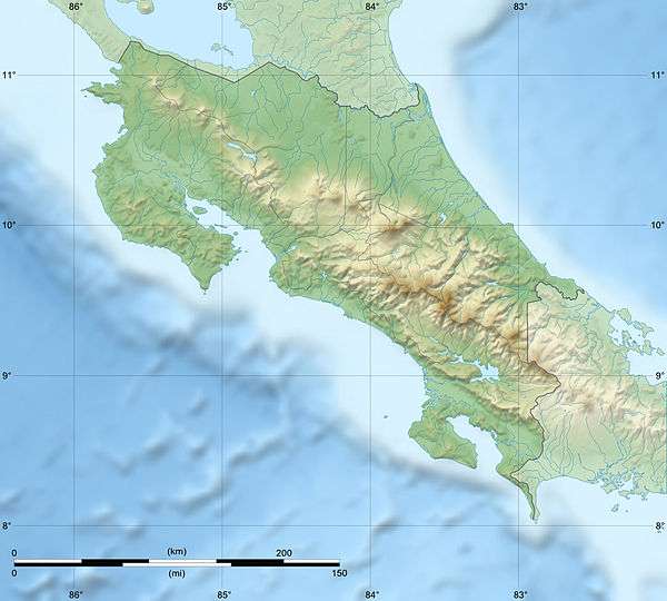 PLD Location of airport in Costa Rica | |||||||||||
| Runways | |||||||||||
| |||||||||||
Carrillo Airport (IATA: PLD, ICAO: MRCR) is an airport serving Puerto Carrillo, a village in Guanacaste Province, Costa Rica. The airport and village are 5 kilometres (3.1 mi) east of Sámara village.
Facilities
The airport consists of a grass landing strip and a covered shelter that is occasionally used to weigh luggage before boarding. There are no amenities nearby.
See also


- Transport in Costa Rica
- List of airports in Costa Rica
References
- ↑ "Airline and Airport Code Search". IATA. Retrieved 8 April 2016.
- ↑ "AIP Costa Rica: Part 3 Aerodromes" (PDF). Dirección General de Aviación Civil. 22 October 2009. Archived from the original (PDF) on 27 September 2011. Retrieved 28 September 2011.
- ↑ Google Maps - Carrillo
- ↑ Airport information for PLD at Great Circle Mapper.
External links
"Carrillo (Samara) Domestic Airport". GoVisitCostaRica.com.
This article is issued from
Wikipedia.
The text is licensed under Creative Commons - Attribution - Sharealike.
Additional terms may apply for the media files.