Carmelita, Belize
Coordinates: 18°0′51.29″N 88°32′32.77″W / 18.0142472°N 88.5424361°W
| Carmelita | |
|---|---|
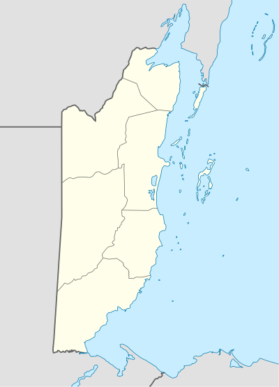 Carmelita Map of Corozal metropolitan area | |
| Coordinates: 18°0′51″N 88°32′33″W / 18.01417°N 88.54250°W | |
| Country |
|
| District | Orange Walk District |
| Time zone | UTC-6 (Central) |
| Climate | Am |
Carmelita is a village in the Orange Walk District of the nation of Belize. According to the 2010 census, it had a population of 1,474 people.[1]
References
- ↑ "Belize Population and Housing Census: 2010 Country Report" (PDF). Statistical Institute of Belize. Archived from the original (PDF) on 27 January 2016. Retrieved 25 July 2015.
This article is issued from
Wikipedia.
The text is licensed under Creative Commons - Attribution - Sharealike.
Additional terms may apply for the media files.