Carlsberg Fault zone
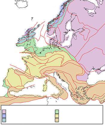
Tectonic map of Europe
The Carlsberg Fault zone is a concealed tectonic formation that runs across Copenhagen city centre.[1] It is one of the most significant faults in the Copenhagen area[2] and can be followed for about 30 km.[3]
The Carlsberg Fault is located in a NNW-SSE striking fault system in the border zone between the Danish Basin and the Baltic Shield.[1][4] Recent earthquakes indicate that this area is tectonically active.[1]
It was described for the first time in 1925 at the Carlsberg Breweries.[3]
References
- 1 2 3 Admin (26 April 2007). "Search". Retrieved 2018-05-02.
- ↑ "Efforts to include geological and geodetic observations in the assessment of earthquake activity in Denmark". Søren Gregersen and Peter H. Voss, Geological Survey of Denmark and Greenland. Accessed 2 May 2018.
- 1 2 "Copenhagen". Geological Survey of Denmark and Greenland. Accessed 2 May 2018., backup
- ↑ Kammann, Janina; Hübscher, Christian; Ole Boldreel, Lars; Nielsen, Lars (6 July 2016). "High-resolution shear-wave seismics across the Carlsberg Fault zone south of Copenhagen — Implications for linking Mesozoic and late Pleistocene structures". Tectonophysics. 682: 56–64. doi:10.1016/j.tecto.2016.05.043. ISSN 0040-1951.
This article is issued from
Wikipedia.
The text is licensed under Creative Commons - Attribution - Sharealike.
Additional terms may apply for the media files.