Caraballo Mountains
| Caraballo Mountains | |
|---|---|
 | |
| Elevation | 1,588 metres (5,210 ft) |
| Geography | |
.svg.png) | |
| Country | Philippines |
| Provinces | |
| Range coordinates | 16°8′37.8″N 121°10′4.8″E / 16.143833°N 121.168000°ECoordinates: 16°8′37.8″N 121°10′4.8″E / 16.143833°N 121.168000°E |
| Borders on | |
The Caraballo Mountains is a mountain range in the central part of Luzon island in the Philippines, situated between Cordillera Central and Sierra Madre mountain ranges. The mountains serve as the location of the headwaters of the Cagayan River, the longest in the country.
Several portions of the mountain range are protected under the National Integrated Protected Areas System, including the Casecnan Protected Landscape and the Pantabangan–Carranglan Watershed Forest Reserve.
Gallery
 A section of the range at Dupax del Sur
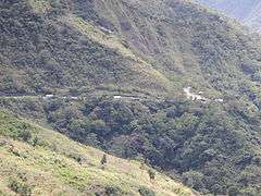
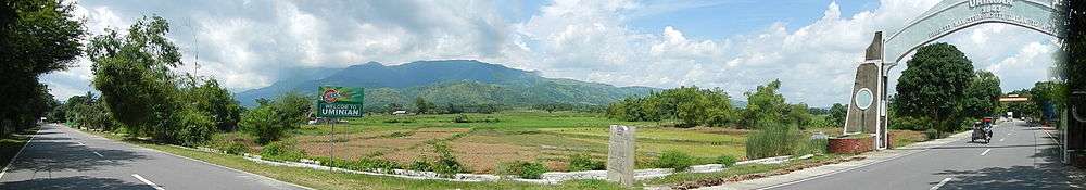
 Another view from the fields of eastern Pangasinan
 Another view overlooking Dalton Pass
See also
| Wikimedia Commons has media related to Caraballo Mountains. |
| Authority control |
|---|
This article is issued from
Wikipedia.
The text is licensed under Creative Commons - Attribution - Sharealike.
Additional terms may apply for the media files.