Cape of Gjuhëz
 Albania | |
| Location |
Cape of Gjuhëz Albania |
|---|---|
| Coordinates | 40°25′19.3″N 19°17′29.4″E / 40.422028°N 19.291500°E |
| Year first constructed | n/a |
| Foundation | concrete bunker base |
| Construction | metal lamp post |
| Tower shape | cylindrical lamp post |
| Markings / pattern | white post with light |
| Height | 6 metres (20 ft) |
| Focal height | 58 metres (190 ft) |
| Light source | solar power |
| Range | 11 nautical miles (20 km; 13 mi)[1] |
| Characteristic | Fl W 6s. |
| Admiralty number | E3732.5 |
| NGA number | 14338 |
| ARLHS number | ALB-008[2] |
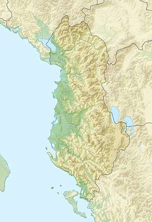
The Cape of Gjuhëz (Albanian: Kepi i Gjuhëzës) is a rocky cape northwest of Karaburun Peninsula as well as the westernmost point of continental Albania. It projects 1.1 kilometres (0.68 mi) into the sea in the form of the tongue, thus the origin of its name. The altitudes of the cape slope gradually towards the water, whereas the southern shores form 30 to 40 metres (98 to 131 ft) high steep cliffs that fall directly to the Ionian sea. The cape lacks vegetation, while limestone rocks, highly eroded by Karst are spread over whole the area.[3][4]
See also
References
- ↑ List of Lights, Pub. 113: The West Coasts of Europe and Africa, the Mediterranean Sea, Black Sea and Azovskoye More (Sea of Azov) (PDF). List of Lights. United States National Geospatial-Intelligence Agency. 2015.
- ↑ "Albania". The Lighthouse Directory. University of North Carolina at Chapel Hill. Retrieved 5 April 2017.
- ↑ Fjalori Enciklopedik Shqiptar, Akademia e Shkencave - Tirane, 1984 (KEPI I GJUHEZES, page 465)
- ↑ Kepi i Gjuhezes
External links
Coordinates: 40°25′00″N 19°18′00″E / 40.4167°N 19.3°E
{{DEFAULTSORT:Cape of Gjuhez}
This article is issued from
Wikipedia.
The text is licensed under Creative Commons - Attribution - Sharealike.
Additional terms may apply for the media files.