Cape Temnyy
| Cape Temnyy | |
|---|---|
| Two Sisters | |
 | |
| Location |
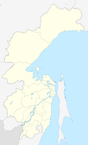
Khabarovsk Krai, |
| Coordinates | 54°13′N 137°12′E / 54.217°N 137.200°ECoordinates: 54°13′N 137°12′E / 54.217°N 137.200°E |
| Offshore water bodies | Sea of Okhotsk |
| Elevation | 165 m (541 ft) |
| Area | Russian Far East |
Cape Temnyy (Russian: Mys Temnyy) is a headland in Khabarovsk Krai, Russia.[1]
Geography
The cape is on the eastern side of Tugur Bay, 12 km (about 8 mi) southwest of Cape Bersen'yeva. It consists of seaward-facing, dark cliffs and two conspicuous hills that rise straight up from the coast.[2] It rises to a height of 165 m (541 ft).[1]
History
American whaleships cruising for bowhead whales frequented the waters off the cape in the 1850s and 1860s. They called it the Two Sisters.[3][4] Boat crews also camped near the cape.[5]
References
- 1 2 "Mys Temnyy". Mapcarta. Retrieved 12 February 2018.
- ↑ National Geospatial-Intelligence Agency. (2014). Sailing Directions (Enroute): East Coast of Russia. U.S. Government, Springfield, Virginia.
- ↑ Montezuma, of New London, July 11, 1859, Nicholson Whaling Collection.
- ↑ Java, of New Bedford, July 22, 1865, Kendall Whaling Museum.
- ↑ Java, of New Bedford, summer 1865-1866, in From Forecastle to Cabin (Beane, 1905, p. 201).
This article is issued from
Wikipedia.
The text is licensed under Creative Commons - Attribution - Sharealike.
Additional terms may apply for the media files.