Cape Taputapu
| Cape Taputapu | |
|---|---|
 Cape Taputapu National Natural Landmark | |
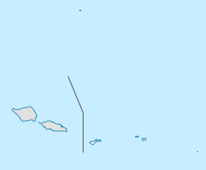 Map of American Samoa | |
| Location | American Samoa |
| Coordinates | 14°19′35″S 170°50′33″W / 14.32639°S 170.84250°WCoordinates: 14°19′35″S 170°50′33″W / 14.32639°S 170.84250°W [1] |
| Designated | 1972 |
Cape Taputapu is the name of a cape located in the Western District of American Samoa.[2] Located in Tutuila, it is the island's westernmost point. The cape was designated as a National Natural Landmark in 1972.
Taputapu means forbidden in Samoan, and the cape was named so as it was the only site on Tutuila where paper mulberry trees were found. The discoverers wanted to keep the site and bark for themselves so they could sell it to other parts of American Samoa.[3]
The cape’s shoreline features volcanic rocks and blowholes created by the strong wave activity which also created Tutuila Island as a whole. It can be hiked during times of low tide, from a trail located in nearby village of 'Amanave. The cape is the last place on Tutuila where the sun sets.[4]
References
- ↑ U.S. Geological Survey Geographic Names Information System: Cape Taputapu
- ↑ U.S. Geological Survey Geographic Names Information System: Cape Taputapu
- ↑ Swaney, Deanna (1994). Samoa: Western & American Samoa: a Lonely Planet Travel Survival Kit. Lonely Planet Publications. Page 182. ISBN 9780864422255.
- ↑ https://www.afar.com/places/cape-taputapu-national-natural-landmark-pago-pago