Cape Svyatoy Nos (Laptev Sea)
| Cape Svyatoy Nos | |
|---|---|
| Мыс Святой Нос | |
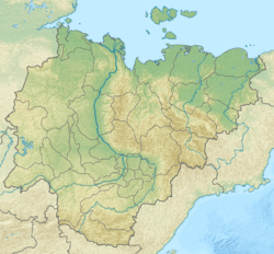 Location of the cape in the Sakha Republic | |
| Location |
Sakha Republic |
| Coordinates | 72°42′N 141°12′E / 72.7°N 141.2°ECoordinates: 72°42′N 141°12′E / 72.7°N 141.2°E |
| Offshore water bodies | Laptev Sea |
| Area | Russian Far North |
Cape Svyatoy Nos (Russian: Мыс Святой Нос) is a headland in the Laptev Sea.[1] Administratively it is part of the Sakha Republic (Yakutia).
Geography
This cape marks the northern end of Ebelyakh Bay.[2] A prominent point, it is one of the landmarks defining the limits of the Laptev Sea according to the International Hydrographic Organization.[3]
References
- ↑ GoogleEarth
- ↑ "Mys Svyatoy Nos". Mapcarta. Retrieved 26 November 2016.
- ↑ "Limits of Oceans and Seas, 3rd edition" (PDF). International Hydrographic Organization. 1953. Retrieved 6 February 2010.
This article is issued from
Wikipedia.
The text is licensed under Creative Commons - Attribution - Sharealike.
Additional terms may apply for the media files.