Calanques National Park
| Calanques National Park | |
|---|---|
| Parc national des Calanques | |
|
IUCN category II (national park) | |
 | |
 | |
| Location | France |
| Nearest city | Marseille |
| Coordinates | 43°13′N 5°28′E / 43.217°N 5.467°ECoordinates: 43°13′N 5°28′E / 43.217°N 5.467°E |
| Area | 520 km2 (201 sq mi) |
| Established | 2012 |
|
www | |
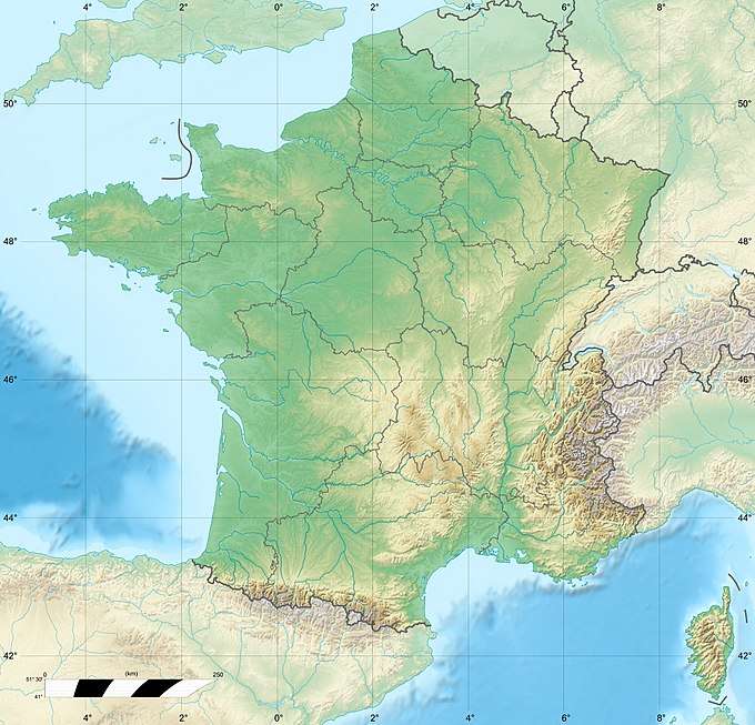
Calanques National Park is a national park located in southern France, established in 2012. It extends over 520 km2 (201 sq mi), of which 85 km2 (33 sq mi) is land, while the remaining is marine area.[1] It includes parts of the Massif des Calanques stretching between Marseille and Cassis.[2]
References
- ↑ Parc national des Calanques: "Carte d'identité" Archived 2013-06-16 at the Wayback Machine., retrieved 12 July 2013
- ↑ Parc national des Calanques: "Massif des Calanques", retrieved 12 July 2013
External links
This article is issued from
Wikipedia.
The text is licensed under Creative Commons - Attribution - Sharealike.
Additional terms may apply for the media files.
