Calamian Islands
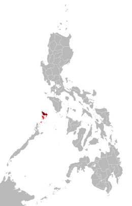 Map of the Philippines showing the location of the Calamian Group (in red) and Busuanga Island (in maroon) | |
.svg.png) Calamian Group of Islands Location within Palawan | |
| Geography | |
|---|---|
| Coordinates | 11°54′N 120°14′E / 11.900°N 120.233°ECoordinates: 11°54′N 120°14′E / 11.900°N 120.233°E |
| Adjacent bodies of water |
|
| Major islands |
|
| Administration | |
| Region | MIMAROPA |
| Province | Palawan |
The Calamian Islands or Calamianes is a group of islands in the Philippine province of Palawan. It includes:
|
|
History
Historically, the Calamianes was site of the Spanish politico-militar Provincia de Calamianes. The Spanish Empire later purchased mainland Paragua from the Sultan of Borneo. During the American occupation (1898-1948), the old Provincia de Calamianes was dissolved and jointly administered with the Island of Paragua as the new Province of Palawan.
During the American occupation and up until recently, Culion Island was host to a leper colony. Busuanga Island hosts the largest town, Coron, in the Calamian Islands. Coron Island is known for having the cleanest inland body of water in the Philippines, called Kayangan Lake. Calauit Island is known for hosting a number of endangered African animal species. Diving spots, with coral reefs and sunken World War II Japanese shipwrecks, also lies within the waters of these islands.
External links

