Cabo Carvoeiro
| Cape of Coal | |
|---|---|
|
Cabo Carvoeiro | |
 Nau dos Corvos, (Carrack of Crows) at Cabo Carvoeiro, with Berlengas in the background. | |
| Highest point | |
| Peak | Cabo Carvoeiro (Peniche) |
| Coordinates | 39°21′34.46″N 9°24′29.78″W / 39.3595722°N 9.4082722°WCoordinates: 39°21′34.46″N 9°24′29.78″W / 39.3595722°N 9.4082722°W |
| Naming | |
| Etymology | carvoeiro Portuguese for person who transports coal |
| Geography | |
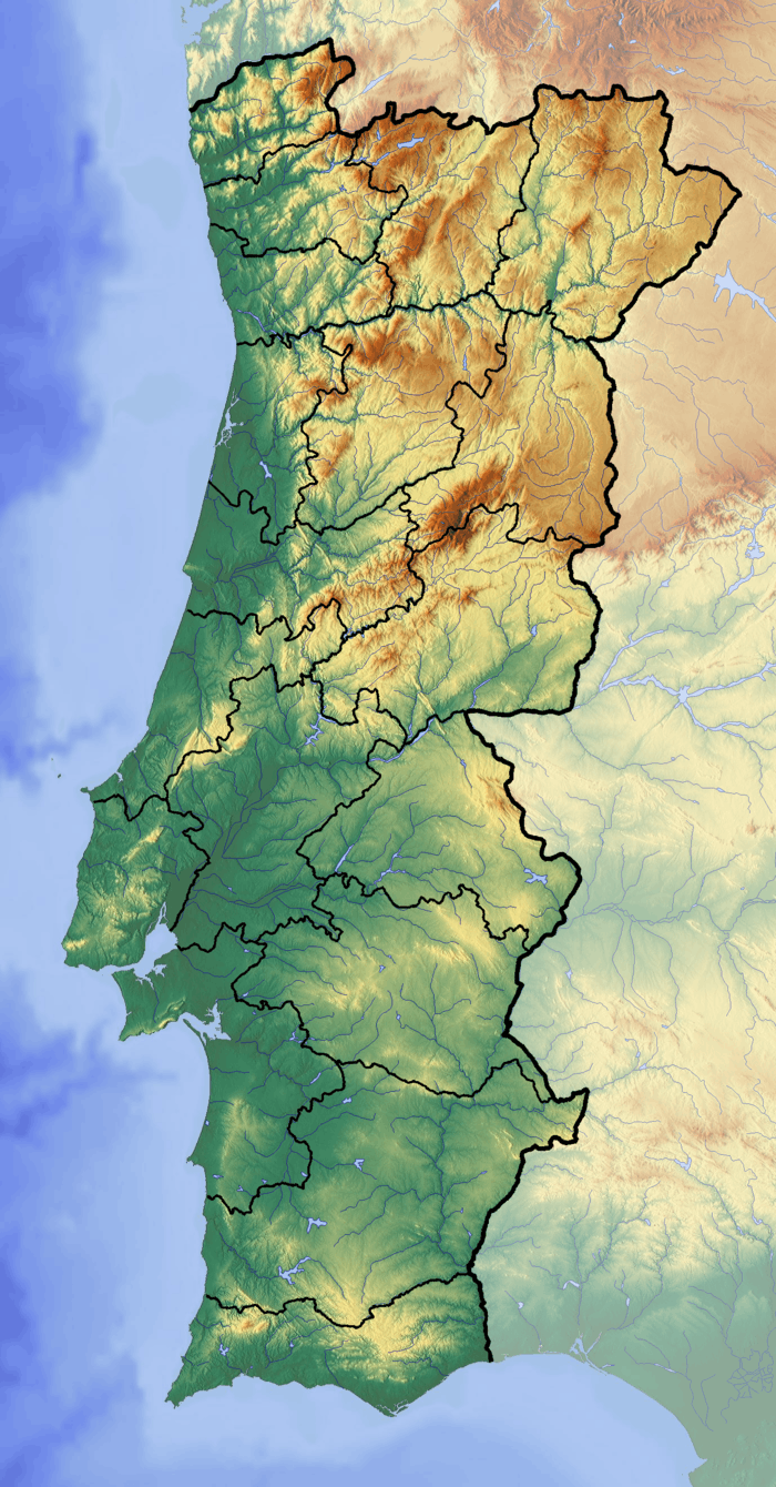 Cape of Coal Location of the Cabo Carvoeiro in continental Portugal | |
| Country |
|
| Region | Centro |
| Subregion | Oeste |
| District | Leiria |
| Municipality | Peniche |
The Cabo Carvoeiro (Cape Carvoeiro) lies on the Atlantic coast, along the westernmost point of the Peniche peninsula, in the civil parish of Peniche in the municipality of the same name in the Portuguese district of Leiria.
Opposite the archipelago of the Berlengas, the cape is integrated into a natural terrestrial and maritime reserve, in the vicinity of the Gruta da Furninha, a site known for the discovery of prehistoric remains suggesting human occupation since the Neolithic.
Owing to historical storms and shipwreck, a 25 metres (82 ft) high lighthouse was constructed on the promontory to assist maritime shipping.
See also
This article is issued from
Wikipedia.
The text is licensed under Creative Commons - Attribution - Sharealike.
Additional terms may apply for the media files.