Bushby
Bushby is a village in Leicestershire, England.
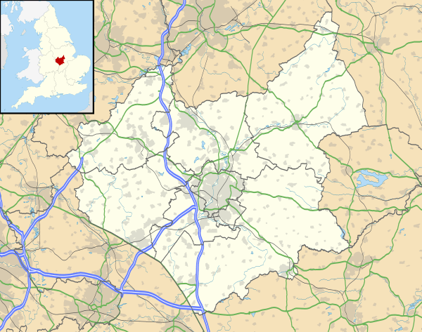
It lies just south of the A47 Uppingham Road, which leads east from Leicester, and contiguous with the village of Thurnby, with which it shares a parish. The population is included in the. civil parish of Thurnby and Bushby. The principal thoroughfare is the east-west Main Street, off which lead half a dozen closes built since the 1950s. Its central point is the 'spinney', a clump of pine trees forming an island created when a dog's-leg in Main street was straightened out. Most of the settlement is made up of commuter housing, but it retains a handful of farms and shops. Though the local pub lies in Thurnby, its old skittle alley is on Bushby territory, with the consequence that it used to have later opening hours.
External links
![]()