Bush, Louisiana
| Bush | |
| Unincorporated community | |
| Country | United States |
|---|---|
| State | Louisiana |
| Parish | St. Tammany |
| Elevation | 82 ft (25 m) |
| Coordinates | 30°36′32″N 89°54′00″W / 30.60889°N 89.90000°WCoordinates: 30°36′32″N 89°54′00″W / 30.60889°N 89.90000°W |
| Timezone | CST (UTC-6) |
| - summer (DST) | CDT (UTC-5) |
| ZIP code | 70431 |
| Area code | 985 |
 Location of Bush in Louisiana | |
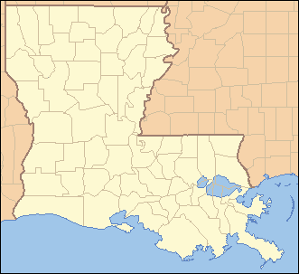
 Location of Louisiana in the United States | |
Bush is an unincorporated community in northeastern St. Tammany Parish, Louisiana, United States, to the south of Sun. Bush is on Louisiana Highway 21 between Covington and Bogalusa at 30,61° N, 89,90° W. It is part of the New Orleans–Metairie–Kenner Metropolitan Statistical Area. Highway 21 crosses the Bogue Chitto River approximately 1.45 miles (2.33 km) north of town.
Education
St. Tammany Parish Public Schools serves Bush residents.
Fifth Ward Junior High School in unincorporated St. Tammany Parish serves K-8.[1]
Covington High School in Covington serves Bush residents.[2]
References
- ↑ Fifth Ward Junior High School Boundary Archived August 5, 2007, at the Wayback Machine.. St. Tammany Parish Public Schools
- ↑ Covington High School Boundary Archived 2007-08-05 at the Wayback Machine.. St. Tammany Parish Public Schools
External links
Municipalities and communities of St. Tammany Parish, Louisiana, United States | ||
|---|---|---|
| Cities | 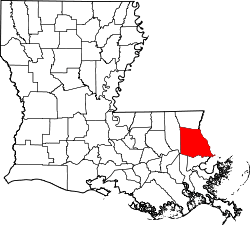 | |
| Towns | ||
| Villages | ||
| CDPs | ||
| Unincorporated communities | ||
This article is issued from
Wikipedia.
The text is licensed under Creative Commons - Attribution - Sharealike.
Additional terms may apply for the media files.