Burbage Brook
| Burbage Brook | |
.jpg) Burbage Brook in Padley Gorge | |
| Country | England |
|---|---|
| Region | Derbyshire |
| Mouth | |
| - coordinates | 53°18′10″N 1°38′17″W / 53.302806°N 1.6380°WCoordinates: 53°18′10″N 1°38′17″W / 53.302806°N 1.6380°W |
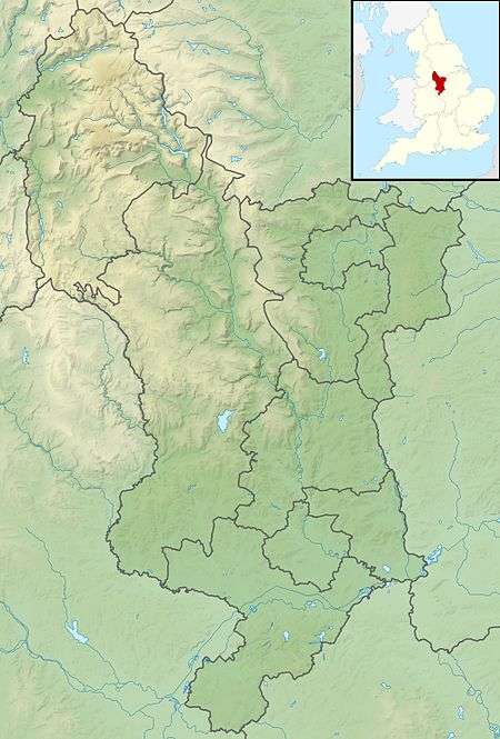 Location of the mouth within Derbyshire | |
Burbage Brook is an upper tributary stream of the River Derwent in the Peak District of England.
Toponymy
The origin of the name is thought to derive from the Germanic baki for creek.
Course
The source of the brook is on moorland to the north of the brook's valley in Derbyshire where it drains the land south of Friar's Ridge on Hallam Moor. Within the first kilometre the height of the brook falls just over 60 metres from its 396 to 335 metres above sea level.[1] The water enters Burbage Valley and Sheffield at the Upper Burbage Bridge (53°19′21″N 1°36′33″W / 53.32250°N 1.60917°W). It then flows through the Burbage valley and the remains of Burbage conifer plantation. This was planted by Sheffield City Council between 1968 and 1971 and was felled following recommendations made in Moors for the Future Report No 8. Stumps of the trees have not been uprooted as the report suggested that the area covered by the plantation might contain important archaeological remains.[2] The valley is overlooked by Higger Tor and Carl Wark to the west and Burbage Rocks to the east. As it flows out of the remnants of the plantation, it passes under a Grade II listed packhorse bridge.[3] It continues down the valley and below Burbage Bridge, close to a rock feature known as Toad's Mouth where it re-enters Derbyshire at Lawrence Field. It then flows into Padley Gorge, Derbyshire as it passes through the Longshaw Estate. At Upper Padley, before it flows into the river Derwent, it flows close to Grindleford railway station and Padley Chapel.
The brook was depicted in a painting by artist Stanley Royle in 1919.[4]
See also
References
- ↑ Fact Sheet Archived 30 October 2008 at the Wayback Machine., Peak District Education, accessed 1 January 2009
- ↑ Bevan, Bill (2006). "From Cairns to Craters: Conservation Heritage Assessment of Burbage" (PDF). Moors for the Future. Retrieved 7 December 2017.
- ↑ Historic England. "PACKHORSE BRIDGE APPROXIMATELY 850 METRES NORTH OF BURBAGE BROOK, Sheffield (1255107)". National Heritage List for England. Retrieved 7 December 2017.
- ↑ "Burbage Brook | Art UK". Retrieved 7 December 2017.
External links
![]()