Bukadaban Feng
| Bukadaban Feng | |
|---|---|
| Syn Qing Feng | |
 | |
| Highest point | |
| Elevation | 6,860 m (22,510 ft) [1] |
| Prominence | 1,922 m (6,306 ft) [1] |
| Listing | Ultra |
| Coordinates | 36°01′27″N 90°51′57″E / 36.02417°N 90.86583°ECoordinates: 36°01′27″N 90°51′57″E / 36.02417°N 90.86583°E [1] |
| Geography | |
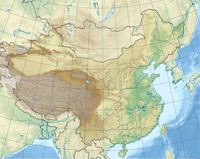 Bukadaban Feng Location in China | |
| Location |
Xinjiang and Qinghai provinces, China |
| Parent range | Kunlun Mountains |
Bukadaban Feng or Buka Daban Feng (simplified Chinese: 布喀达坂峰; traditional Chinese: 布喀達坂峰; pinyin: Bùkā Dábǎn Fēng), Syn Qing Feng (Chinese: 新青峰; pinyin: Xīn Qīng Fēng) or Bokalik Tagh (Chinese: 博卡雷克塔格山; pinyin: Bókǎléikè Tǎgé Shān), is a remote peak on the border between Xinjiang and Qinghai provinces of China.[2] The Chinese term 'Bukadaban Feng' is borrowed from the Uyghur for "bison peak".[3] It is part of the Kunlun Mountains of East-Central Asia. At 6,860 metres (22,507 ft) – the height 7,720 metres (25,328 ft) on older maps was incorrect –, Bukadaban Feng is the highest point of the Qinghai province and with a prominence of 1,922 metres (6,306 ft), it is also an ultra prominent peak.[2] The peak is considered part of Hoh Xil.[4]
References
- 1 2 3 "China II: Sinkiang - Xinjiang". Peaklist.org. Retrieved 2014-08-16.
- 1 2 "Bukadaban Feng, China". Peakbagger.com. Retrieved 2014-08-16.
- ↑ http://travel.163.com/15/0104/13/AF4C5CD800063KE8.html 布喀达坂峰在维吾尔语中意为“野牛岭”
- ↑ http://zt.gog.cn/system/2009/06/25/010591925.shtml 可可西里地区山峦绵延起伏,{...}有青海第一高峰布喀达板峰
See also
This article is issued from
Wikipedia.
The text is licensed under Creative Commons - Attribution - Sharealike.
Additional terms may apply for the media files.