Bramcote, Warwickshire
| Bramcote | |
|---|---|
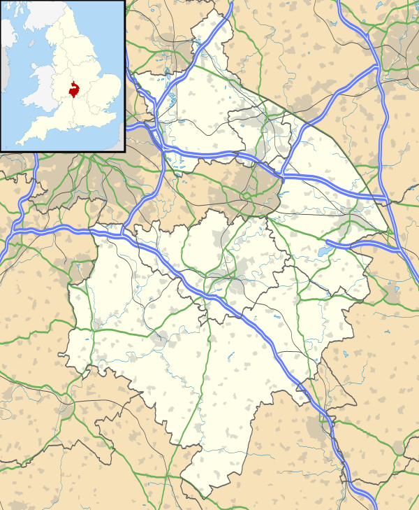 Bramcote Bramcote shown within Warwickshire | |
| Population | 321 (2001) |
| OS grid reference | SP403886 |
| Civil parish | |
| District | |
| Shire county | |
| Region | |
| Country | England |
| Sovereign state | United Kingdom |
| Post town | NUNEATON |
| Postcode district | CV11 |
| Dialling code | 01455 |
| Police | Warwickshire |
| Fire | Warwickshire |
| Ambulance | West Midlands |
| EU Parliament | West Midlands |
Bramcote is a village in the Nuneaton and Bedworth district of Warwickshire in England.
It is located just south of the B4114 road and adjacent to the M69 motorway. The population in 2001 was 321, which included the hamlet of Bramcote Mains a quarter of a mile to the south, and 214 armed services personnel at the nearby Gamecock Barracks.[1] Population details for the 2011 Census can be found under Wolvey.
Bramcote Waters Golf Course lies to the east[2] and Bramcote NHS Hospital to the north.[3] Prior to the barracks at Bramcote being occupied by the Army, it was Royal Naval Air Station Bramcote H.M.S.Gamecock. During the war it was an R.A.F. station (RAF Bramcote).
References
- ↑ Warwickshire 2001 census Archived July 28, 2011, at the Wayback Machine. Warwickshire County Council
- ↑ Bramcote Waters Golf Course Archived June 16, 2011, at the Wayback Machine. Warwickshire County Council Tourist Attractions
- ↑ Bramcote Hospital www.nhs.uk
This article is issued from
Wikipedia.
The text is licensed under Creative Commons - Attribution - Sharealike.
Additional terms may apply for the media files.