Bouès
| Bouès | |
|---|---|
 | |
| Country | France |
| Physical characteristics | |
| Main source | Plateau de Lannemezan |
| River mouth |
Arros River 43°33′53″N 0°5′50″E / 43.56472°N 0.09722°ECoordinates: 43°33′53″N 0°5′50″E / 43.56472°N 0.09722°E |
| Length | 63 km (39 mi) |
| Basin features | |
| Progression | Arros→ Adour→ Atlantic Ocean |
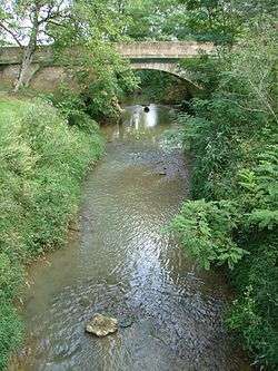
The Bouès, is a right tributary of the Arros, at the eastern end of the basin of the Adour, in the Southwest of France.
Geography
The Bouès rises near Capvern, west of Lannemezan where it is fed by the Neste Canal. It flows north through a narrow valley and joins the Arros, downstream from Marciac, in a historical region known as Rivière-Basse.
Départements and towns
- Hautes-Pyrénées : Capvern, Lutilhous, Bernadets-Dessus, Sère-Rustaing, Vidou.
- Gers : Miélan, Tillac (Gers), Marciac.
Main tributaries
- (R) Cabournieu, from Monpardiac
- (L) Laüs or Lahus, from Laguian-Mazous
- (R) Lis or Lys
References
This article is issued from
Wikipedia.
The text is licensed under Creative Commons - Attribution - Sharealike.
Additional terms may apply for the media files.