Booby Island, Seychelles
| Nickname: Ile Aux Fous | |
|---|---|
 Booby Island | |
| Geography | |
| Location | Seychelles, Indian Ocean |
| Coordinates | 4°15′36″S 55°40′23″E / 4.26°S 55.673°ECoordinates: 4°15′36″S 55°40′23″E / 4.26°S 55.673°E |
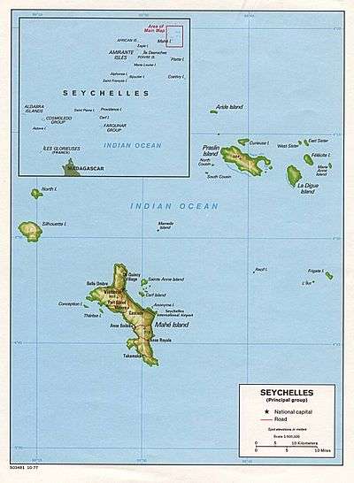
| Archipelago | Inner Islands, Seychelles |
| Adjacent bodies of water | Indian Ocean |
| Total islands | 1 |
| Major islands |
|
| Area | 0.023 km2 (0.0089 sq mi) |
| Length | 0.17 km (0.106 mi) |
| Width | 0.16 km (0.099 mi) |
| Coastline | 0.6 km (0.37 mi) |
| Highest elevation | 30 m (100 ft) |
| Administration | |
| Group | Inner Islands |
| Sub-Group | Granitic Seychelles |
| Sub-Group | Praslin Islands |
| Districts | Grand'Anse Praslin |
| Demographics | |
| Population | 0 (2014) |
| Pop. density | 0 /km2 (0 /sq mi) |
| Ethnic groups | Creole, French, East Africans, Indians. |
| Additional information | |
| Time zone | |
| ISO code | SC-14 |
| Official website |
www |
Booby is an island in Seychelles, lying north of Praslin and south of Aride Island. It has an area of 2.3 hectares. Booby Island is a high granite rock, densely covered with tropical vegetation. The name of the island was given through numerous flocks of boobies that nest on the island. the island is uninhabited.
Tourism
The island is visited by tourists for its wide variety of underwater creatures like fish, sharks and rays.
Image gallery
 Map 2
Map 2
References
External links
This article is issued from
Wikipedia.
The text is licensed under Creative Commons - Attribution - Sharealike.
Additional terms may apply for the media files.