Bohlinryggen
| Bohlinryggen | |
|---|---|
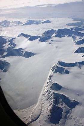 Bohlinryggen in front with Renardbreen to the left. In the background is the valley of Dunderdalen. | |
| Highest point | |
| Elevation | 716 m (2,349 ft) |
| Coordinates | 77°32′06″N 14°23′34″E / 77.5350°N 14.3927°ECoordinates: 77°32′06″N 14°23′34″E / 77.5350°N 14.3927°E |
| Geography | |
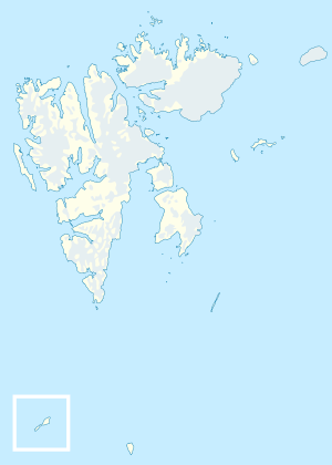 Bohlinryggen 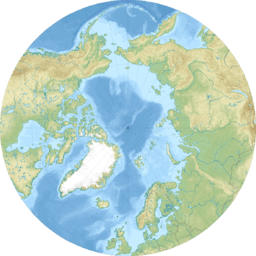 Bohlinryggen Bohlinryggen (Arctic) | |
Bohlinryggen is a mountain ridge in Wedel Jarlsberg Land at Spitsbergen, Svalbard. It has a length of about 4.5 kilometers, and the highest peak is 716 m.a.s.l. It is located between the glaciers Scottbreen and Renardbreen. The ridge is named after Swedish astronomer Karl Bohlin.[1]
References
- ↑ "Bohlinryggen (Svalbard)". Norwegian Polar Institute. Retrieved 29 September 2013.
This article is issued from
Wikipedia.
The text is licensed under Creative Commons - Attribution - Sharealike.
Additional terms may apply for the media files.