České Středohoří
| Central Bohemian Uplands | |
|---|---|
|
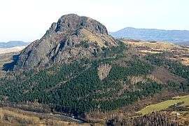
České středohoří | |
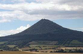
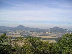 Milešovka (left) and Kletečná as seen from Lovoš | |
| Highest point | |
| Peak | Milešovka |
| Elevation | 837 m (2,746 ft) |
| Coordinates | 50°33′19″N 13°55′54″E / 50.555233°N 13.931533°E |
| Dimensions | |
| Area | 1,266 km2 (489 sq mi) |
| Geography | |
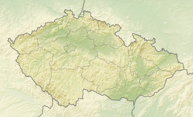 Location of the České Středohoří in the Czech Republic | |
| Country | Czech Republic |
| States/Provinces | Ústí nad Labem and Liberec |
| Range coordinates | 50°34′N 14°56′E / 50.567°N 14.933°ECoordinates: 50°34′N 14°56′E / 50.567°N 14.933°E |
| Parent range | Krušné Hory Subprovince |
| Geology | |
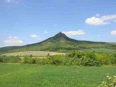
| Type of rock | basalt |
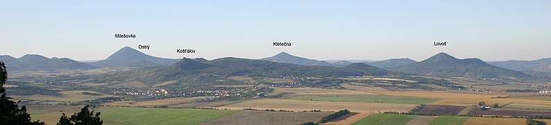
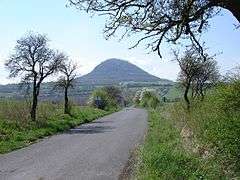
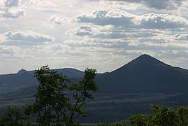
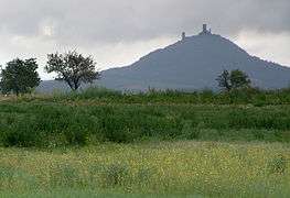
The České středohoří, Central Bohemian Uplands[1] or Central Bohemian Highlands[2] is a mountain range located in northern Bohemia, the Czech Republic. The range is about 80 km long, spanning from Česká Lípa (northeast) to Louny (southwest) and from Litoměřice (south) to Děčín (north), intersected by the river Elbe. The mountains are of volcanic origin, with distinctively sharp solitary peaks.
České středohoří is a nature reserve (Czech: Chráněná krajinná oblast (abbr. CHKO), and the D8 motorway connecting Prague and Dresden traverses the mountains. This led to a number of controversies, but despite them the motorway was after many delays finally completed in December 2016.
In the development of the game ARMA 2 data of this area was used to create the landscape for the game.
|
References
- ↑ The Central Bohemian Uplands and Žatecko at www.czecot.com. Accessed on 28 Feb 2011.
- ↑ e.g. The New Encyclopaedia Britannica, Volume 31, Encyclopaedia Britannica, 1998, p. 371
External links
| Wikivoyage has a travel guide for Central Bohemian Uplands. |
.jpg)