Blaydon Bridge
| Blaydon Bridge | |
|---|---|
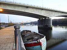 Blaydon Road Bridge with Scotswood road and rail bridges in the background | |
| Coordinates | 54°58′13″N 1°41′52″W / 54.9704°N 1.6978°W |
| OS grid reference | |
| Carries |
|
| Crosses | River Tyne |
| Locale | Tyneside |
| Owner | Department for Transport |
| Maintained by | Highways England |
| Preceded by | Newburn Bridge |
| Followed by | Scotswood Railway Bridge |
| Characteristics | |
| Design |
|
| Material | Pre-stressed concrete |
| Total length | 332 m (363 yd) |
| Width | 14.6 m (48 ft) |
| Longest span | 108 m (118 yd) |
| Piers in water | 2 |
| No. of lanes | 4 |
| History | |
| Designer | Bullen and Partners |
| Constructed by | Edmund Nuttall Ltd |
| Construction start | 16 November 1987 |
| Construction end | 30 November 1990 |
| Inaugurated |
|
| Opened | 3 December 1990 |
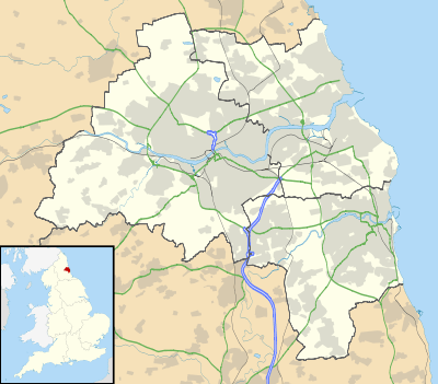 Blaydon Bridge Location in Tyne and Wear | |
Blaydon Bridge is one of the main bridges crossing the River Tyne in North East England linking Scotswood in Newcastle upon Tyne and Blaydon in Gateshead.
The bridge was designed by Bullen and Partners and built by Edmund Nuttall Ltd between 1987 and 1990. It is a concrete bridge with two concrete piers in the river. When completed, it formed the link between the existing Gateshead Western By-pass and the newly constructed Newcastle-upon-Tyne Western By-pass. From the opening, it was designated as the A1 road: before the Blaydon Bridge was built the A1 crossed the Tyne to the east of Newcastle and Gateshead via the Tyne Tunnel.
References
| Next bridge upstream | River Tyne | Next bridge downstream |
| Newburn Bridge | Blaydon Bridge Grid reference: NZ193640 |
Scotswood Railway Bridge Disused (now carries water and gas mains) |
This article is issued from
Wikipedia.
The text is licensed under Creative Commons - Attribution - Sharealike.
Additional terms may apply for the media files.