Blandford Forest
| Blandford Forest | |
|---|---|
 | |
| Geography | |
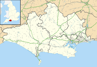
| Location | Dorset, Dorset Downs, North Dorset, England |
| OS grid | ST833068 |
| Coordinates | 50°51′40″N 2°14′17″W / 50.861°N 2.238°WCoordinates: 50°51′40″N 2°14′17″W / 50.861°N 2.238°W |
| Elevation | 147.4 m |
Blandford Forest is a scattered area of woodland centred to the northwest of the town of Blandford Forum in North Dorset.[1]
Location
According to the Forestry Commission, Blandford Forest comprises a number of scattered woodlands around the village of Winterborne Stickland, including Whatcombe Wood and France Down.[2][3]
History
The Forest has one scheduled archaeological site: the ancient earthwork of Crossdyke on Okeford Hill near Shillingstone.[3]
References
- ↑ OS Explorer May 117: Cerne Abbas & Bere Regis.
- ↑ The Forestry Commission article states that the woodlands comprising the forest are "within a 1km radius of the village of Winterborne Stickland", but this is clearly wrong as there are no significant woods within that circle and some of the woods mentioned are up to 6 km away. More likely it means within a 10km radius.
- 1 2 Blandford Forest at www.forestry.gov.uk. Retrieved 24 Feb 2018.
This article is issued from
Wikipedia.
The text is licensed under Creative Commons - Attribution - Sharealike.
Additional terms may apply for the media files.