Black Duck River (Newfoundland and Labrador)
| Black Duck River | |
| River | |
| Country | Canada |
|---|---|
| Province | Newfoundland and Labrador |
| District | St. Mary's Bay |
| Part of | Atlantic Ocean drainage basin |
| Source | Marsh |
| - elevation | 48 m (157 ft) |
| - coordinates | 47°13′52″N 53°32′43″W / 47.23111°N 53.54528°W |
| Mouth | Rocky River |
| - elevation | 2 m (7 ft) |
| - coordinates | 47°13′29″N 53°33′56″W / 47.22472°N 53.56556°WCoordinates: 47°13′29″N 53°33′56″W / 47.22472°N 53.56556°W |
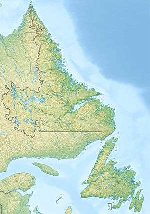
 Location of the mouth of the Black Duck River in Newfoundland and Labrador | |
The Black Duck River is a short river in St. Mary's Bay, Newfoundland and Labrador, Canada.[1] It flows from its source through the Black Duck Ponds to its mouth at the Rocky River, near the community of Colinet, just upstream of that river's mouth at St. Mary's Bay on the Atlantic Ocean.
References
- ↑ "Black Duck River". Geographical Names Data Base. Natural Resources Canada. Retrieved 2012-12-25.
This article is issued from
Wikipedia.
The text is licensed under Creative Commons - Attribution - Sharealike.
Additional terms may apply for the media files.