Black Duck River (Manitoba–Ontario)
| Black Duck River | |
| Country | Canada |
|---|---|
| Provinces | Manitoba, Ontario |
| Part of | Hudson Bay drainage basin |
| Source | Hosea Lake |
| - location | Kenora District, Ontario |
| - elevation | 152 m (499 ft) |
| - coordinates | 55°56′48″N 90°13′29″W / 55.94667°N 90.22472°W |
| Mouth | Hudson Bay |
| - location | Northern Region, Manitoba |
| - elevation | 0 m (0 ft) |
| - coordinates | 56°51′05″N 89°02′14″W / 56.85139°N 89.03722°WCoordinates: 56°51′05″N 89°02′14″W / 56.85139°N 89.03722°W |
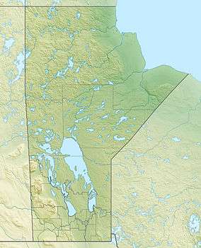 Location of the mouth of the Black Duck River in Manitoba | |
The Black Duck River is a river in the provinces of Manitoba and Ontario, Canada.[1][2] Flowing northeast from Hosea Lake in Kenora District in Northwestern Ontario, the river criss-crosses the Manitoba-Ontario border before reaching to its mouth at Hudson Bay in the Northern Region of Manitoba just west of Manitoba's easternmost point where the inter-provincial border meets the bay.[3]
Course
For a map showing the river course highlighted on a topographic map, see this reference.[3]
References
- ↑ "Black Duck River". Geographical Names Data Base. Natural Resources Canada. Retrieved 2012-12-21. (Manitoba CGNDB entry)
- ↑ "Black Duck River". Geographical Names Data Base. Natural Resources Canada. Retrieved 2012-12-21. (Ontario CGNDB entry)
- 1 2 "Black Duck River". Atlas of Canada. Natural Resources Canada. 2010-02-04. Retrieved 2012-12-21. Shows the course of the river highlighted on a topographic map.
This article is issued from
Wikipedia.
The text is licensed under Creative Commons - Attribution - Sharealike.
Additional terms may apply for the media files.