Birshoghyr
Coordinates: 48°27′35″N 58°33′13″E / 48.45972°N 58.55361°E
| Birshoghyr Біршоғыр Берчогур بىرشوعىر | |
|---|---|
 Birshoghyr | |
| Coordinates: 48°27′35″N 58°33′13″E / 48.45972°N 58.55361°E | |
| Country |
|
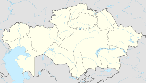
| Region | Aktobe |
| Elevation | 396 m (1,299 ft) |
| Time zone | UTC+5 (West Kazakhstan Time) |
| • Summer (DST) | UTC+5 (West Kazakhstan Time) |
Birshoghyr (Kazakh: Біршоғыр; Russian: Биршогыр; Birşoğır, بىرشوعىر), known as Berchogur[1] (Russian: Берчогур) during the Soviet era, is a town in Aktobe Region, west Kazakhstan. It lies at an altitude of 396 m (1,299 ft).[1]
References
- 1 2 "Berchogur, Kazakhstan - P PPL 610331". GeoNames. Retrieved October 5, 2016.
Capital: Aktobe | ||
| Districts | 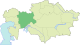 | |
| Major cities | ||
| Towns and villages |
| |
This article is issued from
Wikipedia.
The text is licensed under Creative Commons - Attribution - Sharealike.
Additional terms may apply for the media files.