Bijelo Brdo, Croatia
| Bijelo Brdo | |
|---|---|
| Village | |
 Bijelo Brdo  Bijelo Brdo | |
| Coordinates: 45°31′02″N 18°52′15″E / 45.5172°N 18.8708°E | |
| Country |
|
| County |
|
| Municipality | Erdut |
| Population (2011) | |
| • Total | 1,961 |
| Time zone | UTC+1 (CET) |
| • Summer (DST) | UTC+2 (CEST) |
Bijelo Brdo is a village in the Erdut municipality in eastern Croatia. It is connected by the D213 road and by R202 railway. It has a total of 1,961 inhabitants (2011).
Geography
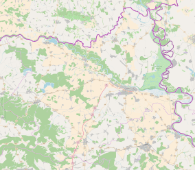
The village is situated 15 km east from Osijek, in the historical Slavonia region. It is near the border with Serbia.
History
During World War II, 93 native Serb families were relocated from Osijek and the neighbouring villages of Dalj and Bijelo Brdo, first to Bosnia and then to Serbia, by the Independent State of Croatia (the Ustaše), while their houses were settled with Croats from Dalmatia.[1]
Culture
- Church of St. Nicholas, built between 1764 and 1809, reconstructed in 1996.
Demographics
The 2011 census had a total of 1,961 inhabitants. The 2001 census had a total of 2,119 inhabitants in 720 households. 1991 census, a total of 2,400 inhabitants, out of which Serbs 1,941 (80.87%), Croats 217 (9.04%), Yugoslavs 97 (4.04%), and other smaller communities.
Sport
Notable people
References
- ↑ Највећи злочини садашњице : (патње и страдање српског народа у Независној Држави Хрватској од 1941-1945), Др. Драгослав Страњаковић, Горњи Милановац Дечје новине 1991. pp. 118
| Municipalities and villages |
|  | ||||||
|---|---|---|---|---|---|---|---|---|
| History |
| |||||||
| Religion | ||||||||
| Education and culture | ||||||||
Coordinates: 45°31′03″N 18°52′23″E / 45.51750°N 18.87306°E