Bernardo de Irigoyen Airport
| Bernardo de Irigoyen Airport Aeropuerto Bernardo de Irigoyen | |||||||||||
|---|---|---|---|---|---|---|---|---|---|---|---|
| Summary | |||||||||||
| Airport type | Public | ||||||||||
| Serves | Bernardo de Irigoyen | ||||||||||
| Location |
| ||||||||||
| Elevation AMSL | 2,660 ft / 811 m | ||||||||||
| Coordinates | 26°15′0.0″S 053°37′45.9″W / 26.250000°S 53.629417°WCoordinates: 26°15′0.0″S 053°37′45.9″W / 26.250000°S 53.629417°W | ||||||||||
| Map | |||||||||||
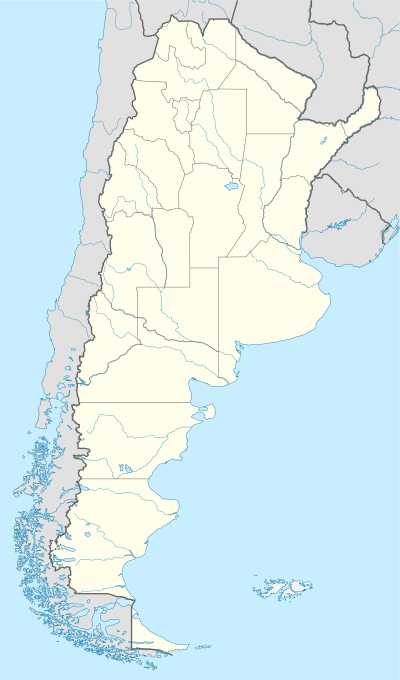
 SATI Location of Bernardo de Irigoyen Airport in Argentina | |||||||||||
| Runways | |||||||||||
| |||||||||||
Bernardo de Irigoyen Airport (Spanish: Aeropuerto Bernardo de Irigoyen, ICAO: SATI) is a public use airport located 2 kilometres (1 mi) east of Bernardo de Irigoyen, Misiones, Argentina.
According to evidence in Google Earth somewhen between 2003 and 2012 big rain and land movements destroyed the unpaved runway and currently this aerodrome looks abandoned and there's no runway at all. That's up to 2018 (which is the last picture in GE).
See also
References
- ↑ Airport record for Bernardo de Irigoyen Airport at Landings.com. Retrieved 2013-09-02
- ↑ Google (2013-09-02). "location of Bernardo de Irigoyen Airport" (Map). Google Maps. Google. Retrieved 2013-09-02.
External links
- Airport record for Bernardo de Irigoyen Airport at Landings.com
This article is issued from
Wikipedia.
The text is licensed under Creative Commons - Attribution - Sharealike.
Additional terms may apply for the media files.