Beinn a'Chrulaiste
| Beinn a' Chrulaiste | |
|---|---|
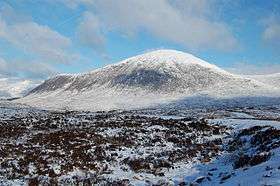 A winter view of the mountain | |
| Highest point | |
| Elevation | 857 m (2,812 ft) |
| Prominence | 464 m (1,522 ft) |
| Listing | Corbett |
| Coordinates | 56°40′39″N 4°53′9″W / 56.67750°N 4.88583°WCoordinates: 56°40′39″N 4°53′9″W / 56.67750°N 4.88583°W |
| Naming | |
| Translation | Rocky Hill (Gaelic) |
| Geography | |
 Beinn a' Chrulaiste Beinn a' Chrulaiste | |
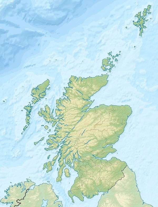
| Location | Glen Coe, Scotland |
| OS grid | NN246567 |
| Topo map | OS Landranger 41 |
Beinn a' Chrulaiste (Scottish Gaelic: Beinn a' Chrùlaiste, meaning "rocky hill"), is a mountain to the north of Glen Coe, in the Highlands of Scotland. The Mountain is rectangular, and can be seen from the A82 road and the Old Military Road (West Highland Way). Also, when passing the A82, it is possible to see the summit of Stob Dearg (Buachaille Etive Mòr). Beinn a' Chrulaiste stands at 857 m (2811 ft), making it a Corbett.
The width of Beinn a' Chrulaiste is about three miles, and there is also a summit on the western side of the mountain called Stob Beinn a' Chrulaiste (639 m or 2096 ft).
See also
External links
This article is issued from
Wikipedia.
The text is licensed under Creative Commons - Attribution - Sharealike.
Additional terms may apply for the media files.