Baodi District
| Baodi 宝坻区 | ||||||||||||||||||||||||||||||||||||||||||||||||
|---|---|---|---|---|---|---|---|---|---|---|---|---|---|---|---|---|---|---|---|---|---|---|---|---|---|---|---|---|---|---|---|---|---|---|---|---|---|---|---|---|---|---|---|---|---|---|---|---|
| District | ||||||||||||||||||||||||||||||||||||||||||||||||
| Country | People's Republic of China | |||||||||||||||||||||||||||||||||||||||||||||||
| Municipality | Tianjin | |||||||||||||||||||||||||||||||||||||||||||||||
| Township-level divisions |
3 subdistricts 21 towns | |||||||||||||||||||||||||||||||||||||||||||||||
| Time zone | UTC+8 (China Standard) | |||||||||||||||||||||||||||||||||||||||||||||||
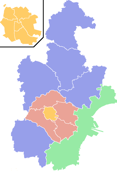
| Tianjin district map |
| |||||||||||||||||||||||||||||||||||||||||||||||
Baodi District (simplified Chinese: 宝坻区; traditional Chinese: 寶坻區; pinyin: Bǎodí Qū) is a district of the municipality of Tianjin, People's Republic of China.[1]
Administrative divisions
There are 8 subdistricts and 16 towns in the district:[2]
| Name | Chinese (S) | Hanyu Pinyin | Population (2010)[3][4] | Area (km2) |
|---|---|---|---|---|
| Baoping Subdistrict | 宝平街道 | Bǎopíng Jiēdào | 97,164 | |
| Haibin Subdistrict | 海滨街道 | Hǎibīn Jiēdào | 55,821 | 118 |
| Yuhua Subdistrict | 钰华街道 | Yùhuá Jiēdào | 48,825 | |
| Zhouliangzhuang Subdistrict | 周良庄街道 | Zhōuliángzhuāng Jiēdào | 12,144 | 45 |
| Koudong Subdistrict | 口东街道 | Kǒudōng Jiēdào | 29,181 | 31 |
| Dabaizhuang Subdistrict | 大白庄街道 | Dàbáizhuāng Jiēdào | 18,139 | 81.6 |
| Chaoyang Subdistrict | 潮阳街道 | Cháoyáng Jiēdào | 30,090 | |
| Chaoxia Subdistrict | 朝霞街道 | Cháoxiá Jiēdào | 39,941 | 26 |
| Dakoutun town | 大口屯镇 | Dàkǒu Zhèn | 56,526 | 88.2 |
| Nanrenfu | 南仁垺乡 | Nánrénfú Xiāng | merged with Dakoutun[5] | |
| Xinkaikou town | 新开口镇 | Xīnkāikǒu Zhèn | 25,748 | 36 |
| Haogezhuang town | 郝各庄镇 | Hǎogè Zhèn | 18,752 | 15 |
| Niudaokou town | 牛道口镇 | Niúdàokǒu Zhèn | 47,168 | |
| Xin'an town | 新安镇 | Xīn'ān Zhèn | 30,783 | 28 |
| Dazhongzhuang town | 大钟庄镇 | Dàzhōngzhuāng Zhèn | 36,406 | 100 |
| Wangbozhuang town | 王卜庄镇 | Wángbozhuāng Zhèn | 32,301 | 39.2 |
| Fangjiazhuang town | 方家庄镇 | Fāngjiāzhuāng Zhèn | 30,338 | 28 |
| Bamencheng town | 八门城镇 | Bāménchéng Zhèn | 25,325 | 60 |
| Zhangezhuang town | 霍各庄镇 | Huògèzhuāng Zhèn | 26,607 | 33 |
| Lintingkou town | 林亭口镇 | Líntíngkǒu Zhèn | 31,810 | 42 |
| Datangzhuang town | 大唐庄镇 | Dàtángzhuāng Zhèn | 13,512 | |
| Shigezhuang town | 史各庄镇 | Shǐgèzhuāng Zhèn | 25,783 | 34 |
| Huangzhuang town | 黄庄真 | Huángzhuāng Zhèn | 11,475 | 112 |
| Erwangzhuang town | 尔王庄镇 | Ěrwángzhuāng Zhèn | 13,120 | 53 |
| Niujiapai town | 牛家牌镇 | Niújiāpái Zhèn | 16,755 | 52 |
| industrial & farming zones | 25,443 |
References
- ↑ "Illustrated Discussion on Coastal Defenses". World Digital Library. Retrieved 9 May 2013.
- ↑ 2011年统计用区划代码和城乡划分代码:宝坻区 (in Chinese). National Bureau of Statistics of the People's Republic of China. Archived from the original on 2012-10-01. Retrieved 2013-08-08.
- ↑ shi, Guo wu yuan ren kou pu cha ban gong; council, Guo jia tong ji ju ren kou he jiu ye tong ji si bian = Tabulation on the 2010 population census of the people's republic of China by township / compiled by Population census office under the state; population, Department of; statistics, employment statistics national bureau of (2012). Zhongguo 2010 nian ren kou pu cha fen xiang, zhen, jie dao zi liao (Di 1 ban. ed.). Beijing Shi: Zhongguo tong ji chu ban she. ISBN 978-7-5037-6660-2.
- ↑ http://www.tj.gov.cn/tj/tjgk/qhyrk/xzqh/201511/W020171106523825684145.jpg
- ↑ "大口屯镇 (translation: Dakoutun Town)" (in Chinese). 行政区划网 (translation: Administrative Divisions Web). March 7, 2014. Retrieved 8 December 2017.
"2001?年,撤销南仁垺乡,并入大口屯镇。" (translation: In 2001?, Nanrenfu Xiang was eliminated and merged with Dakoutun Town.)
| ||
| Districts |  | |
| Defunct divisions | ||
Coordinates: 39°43′02″N 117°18′36″E / 39.7172°N 117.31°E
This article is issued from
Wikipedia.
The text is licensed under Creative Commons - Attribution - Sharealike.
Additional terms may apply for the media files.